


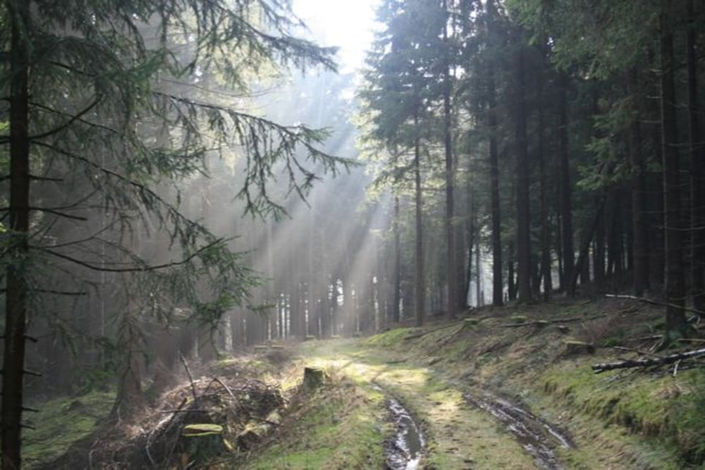
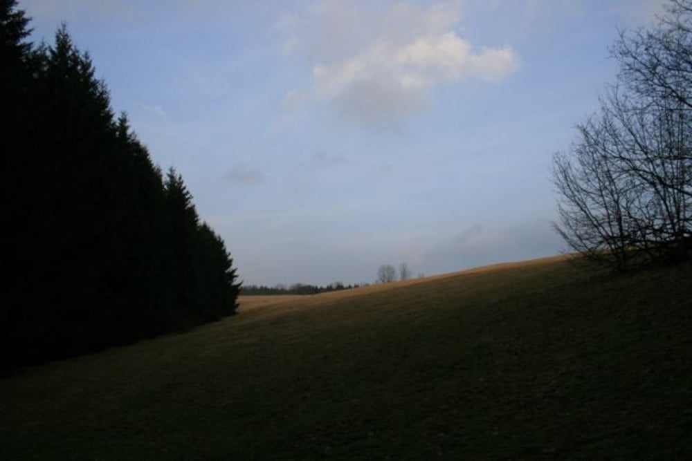
los geht es ab Hotel Harz in Braunlage, die Alte Bad Harzburger Strasse, links ab RichtungWaldmühle-Lausebuche-auf die Hasselkopfloipe, dann Ebersbergloipe-Ebersberg nach Hohegeiss, immer stetiger Anstieg. Ab Hohegeissbis Grenzimbiss und dann kleine geteerte Strasse Richtung Sorge. Hier Die B242 queren und auf dem >Alten Bahndamm< bis zum Bodetal Richtung Braunlage immer geringer Anstieg.
Further information at
http://www.harzidyll.deTour gallery
Tour map and elevation profile
Minimum height 481 m
Maximum height 679 m
More about the tour author
|
|
harzidyll |
Comments

von Braunschweig nach Bad Harzburg, mit dem Bus nach Braunlage hier bis Harz Hotel fahren
GPS tracks
Trackpoints-
GPX / Garmin Map Source (gpx) download
-
TCX / Garmin Training Center® (tcx) download
-
CRS / Garmin Training Center® (crs) download
-
Google Earth (kml) download
-
G7ToWin (g7t) download
-
TTQV (trk) download
-
Overlay (ovl) download
-
Fugawi (txt) download
-
Kompass (DAV) Track (tk) download
-
Track data sheet (pdf) download
-
Original file of the author (tcx) download
More about the tour author
|
|
harzidyll |
Add to my favorites
Remove from my favorites
Edit tags
Open track
My score
Rate