


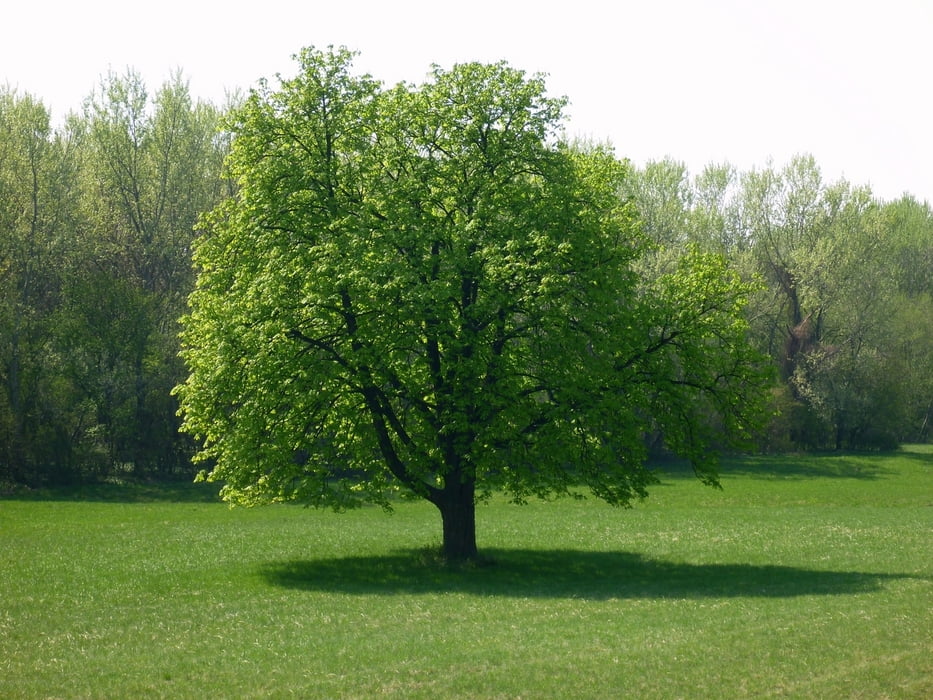
Ausflug in die, für Naturschützer, geschichtsträchtige Stopfenreutherau.
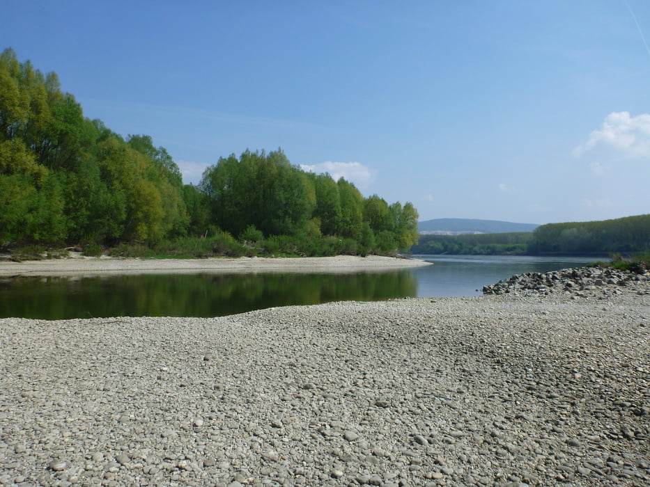
Die Runde beginnt in Witzelsdorf (Fußballplatz) über Stopfenreuth, Alte Au, den Roßkopfarm zur Donau. Da die künstlichen Uferbereiche abgetragen worden sind gibt es ab Km 8 keinen Treppelweg mehr, da sich die Donau ihr Territorium wieder zurückholt. Auf den Schotterbänken gab es keine weiterkomme, da diese durch umgestürzte Auriesen blockiert war, außerdem ist es ein Vogelschutzgebiet. Nach einer kurzen querfeldein Passage durch kniehohen? Bärlauch und unter Ausnützung der Brandschneisen haben wir doch wieder den geplanten Weg am "Narrischen Arm" ereicht.
Alle Fotos: siehe Link
Further information at
https://skydrive.live.com/#cid=DFF63CE9C39979FE&id=DFF63CE9C39979FE%212702Tour gallery


Tour map and elevation profile
Minimum height 140 m
Maximum height 159 m
More about the tour author

|
Herbiy |
Comments

GPS tracks
Trackpoints-
GPX / Garmin Map Source (gpx) download
-
TCX / Garmin Training Center® (tcx) download
-
CRS / Garmin Training Center® (crs) download
-
Google Earth (kml) download
-
G7ToWin (g7t) download
-
TTQV (trk) download
-
Overlay (ovl) download
-
Fugawi (txt) download
-
Kompass (DAV) Track (tk) download
-
Track data sheet (pdf) download
-
Original file of the author (gpx) download
More about the tour author
|
|
Herbiy |
Add to my favorites
Remove from my favorites
Edit tags
Open track
My score
Rate