


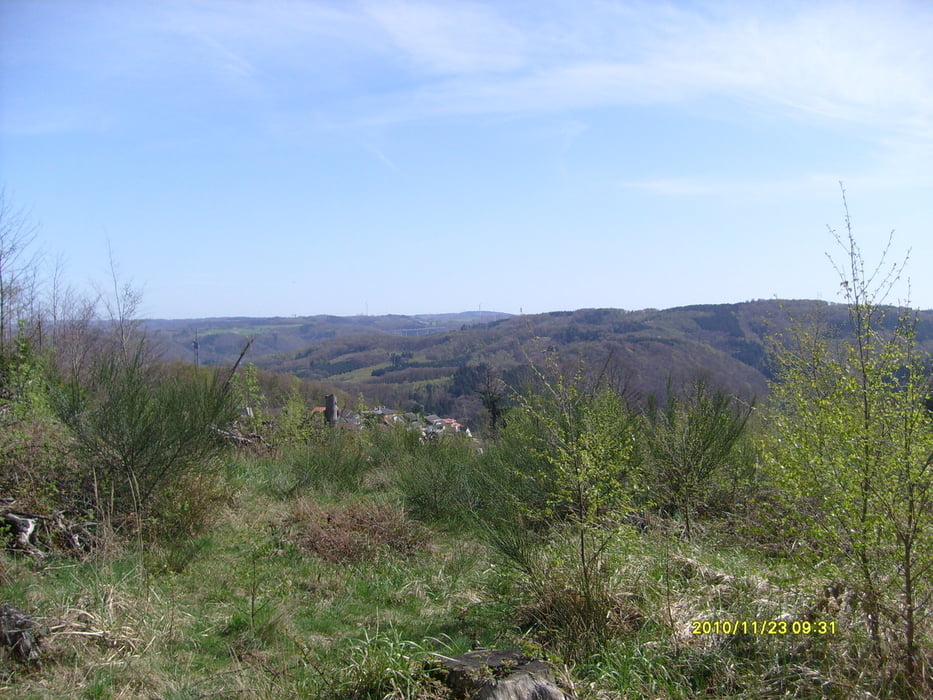
Start ist HA-Wehrighausen, von dort über Radweg und Strasse nach Haspe. Wir folgen den X-Weg und es geht erstmal schön hoch. Weiter den Hauptweg folgen, sone Art warm fahren. Nach der Abfahrt über die Aske geht es wieder hoch und dann über einen Waldtrail zum Tiergehege. Nach kurzer Abfahrt und Auffahrt gehts in den eigentlich spektakulären Waldteil. Über mehrere schöne Trails geht es durch den Wald. Man kommt immer wieder auf schöne Lichtungen... herrlich... Rechts und links sind immer wieder neue Trails (die meisten hab ich noch nicht gefahren---kommt noch) naja lohnt sich auf alle Fälle ;-)
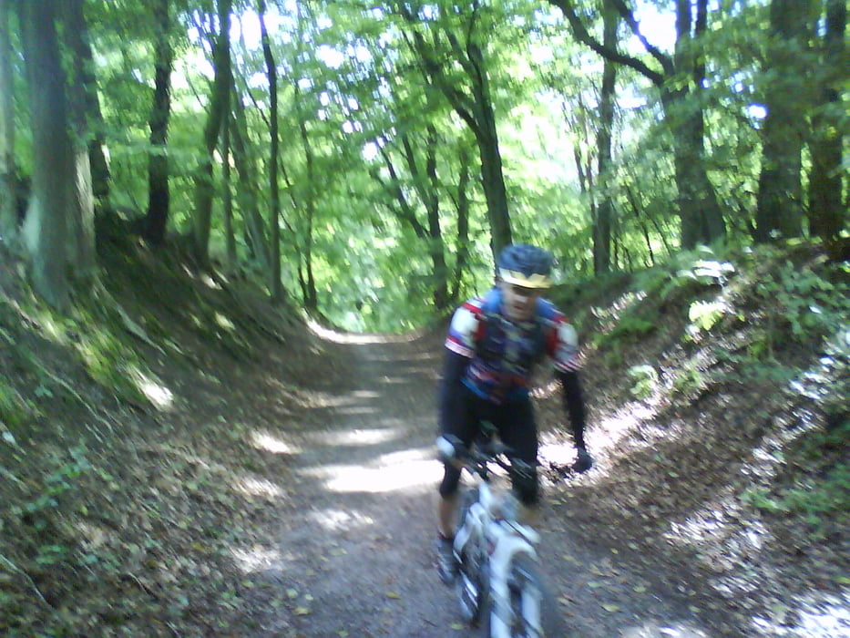
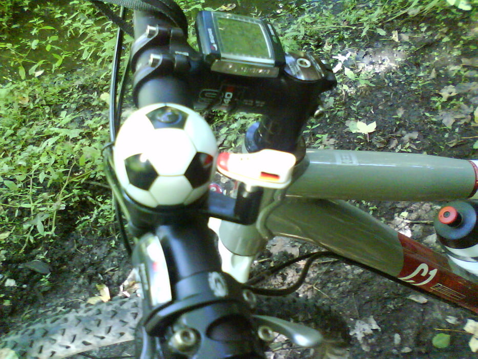
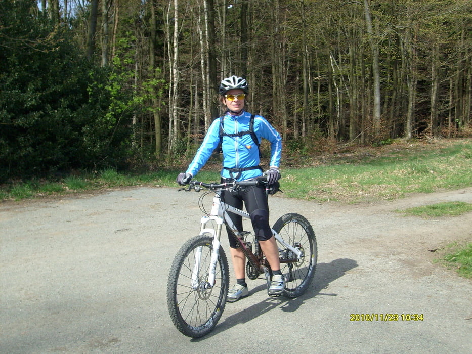
Tour gallery
Tour map and elevation profile
Minimum height 33 m
Maximum height 356 m
More about the tour author
|
|
Ghostrocker |
Comments

GPS tracks
Trackpoints-
GPX / Garmin Map Source (gpx) download
-
TCX / Garmin Training Center® (tcx) download
-
CRS / Garmin Training Center® (crs) download
-
Google Earth (kml) download
-
G7ToWin (g7t) download
-
TTQV (trk) download
-
Overlay (ovl) download
-
Fugawi (txt) download
-
Kompass (DAV) Track (tk) download
-
Track data sheet (pdf) download
-
Original file of the author (gpx) download
More about the tour author
|
|
Ghostrocker |
Add to my favorites
Remove from my favorites
Edit tags
Open track
My score
Rate