Login

Forgot your login?

Cookies have to be accepted!
Your browser's cookie functionality is disabled. Please enable this functionality.

Not a member yet?

Register now
Login

Available for registred users only

Log in to use this feature.

Forgot your login?

Cookies have to be accepted!
Your browser's cookie functionality is disabled. Please enable this functionality.

Not a member yet?

Register now
Filter
Categories
Advanced filters
  • Distance (km)
  • Height
Save filters Reset filter

TrackRank

QRCode

Technical data

Distance34,6 km Height750 m Way down759 m Duration02:30 h:m Date18.04.2011
Scores Author Landscape Fun factor Fitness Technique

Statistics

935 Views Scores 42 Downloads Average
Rate
  • Track data sheet
  • Directions
  • Downloads

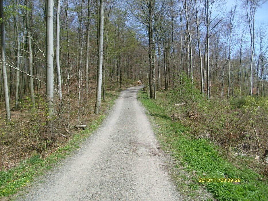
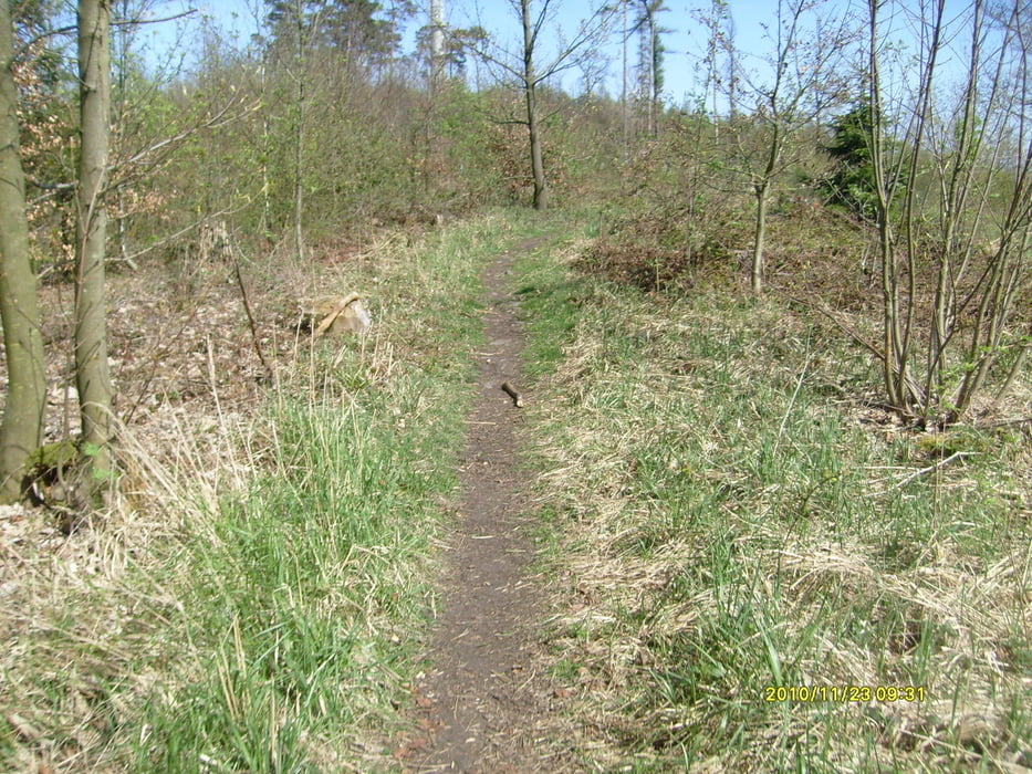
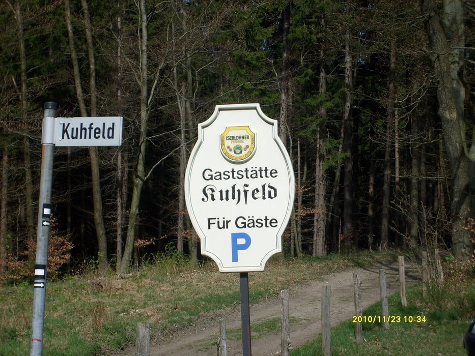
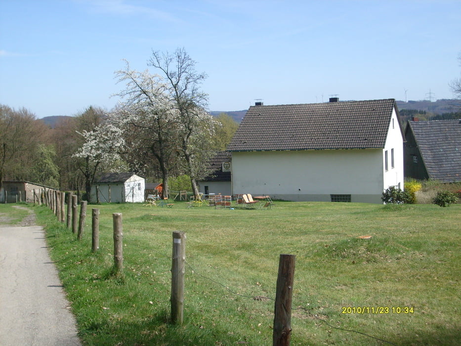
Lockere Pedalierrunde durch den Hagener Stadtwald, über den Eilper Berg, Kuhfeld, Krägeloher Berg, Wahl und dann geiler Trail zur Hasper Talsperre und über Radweg wieder nach Hause. Eine entspannt zu fahrende Runde, die man immer wieder mit einer schönen Einkehr bereichern kann.

Kuhfeld / Hasper Talsperre ...

Tour gallery

Tour map and elevation profile

  • Open Street Map
  • Google
Minimum height 121 m Maximum height 425 m Detailed view

More about the tour author

Ghostrocker
Member since 2009

Send private message

Comments

GPS tracks

Trackpoints
  • GPX / Garmin Map Source (gpx) download
  • TCX / Garmin Training Center® (tcx) download
  • CRS / Garmin Training Center® (crs) download
  • Google Earth (kml) download
  • G7ToWin (g7t) download
  • TTQV (trk) download
  • Overlay (ovl) download
  • Fugawi (txt) download
  • Kompass (DAV) Track (tk) download
  • Track data sheet (pdf) download
  • Original file of the author (gpx) download

More about the tour author

Ghostrocker
Member since 2009

Send private message
Share track
Add to my favorites
Remove from my favorites
Edit tags
My score
Rate
Track: Hagen - Süd 3
Type: Mountain bike
Distance: 34,6 km
Evaluated on:
Duration:
Day(s)
Hour(s)
Minute(s)
Score: Landscape Fun factor Fitness Technique