


Von Steinberg über Essendorf in den Unterweiler Wald bis Donaustetten. Nach Erbach vorbei am Solarfeld (in 1a Nebelgebiet !!) südlich Erstetten vorbei zur Strasse Pappelau Beiningen. An der entlang immer auf Feldweg bis Beiningen. Zurück über Hochsträss. Nach Ermingen nicht auf Strasse, sondern auf interessantem Trial, der bei Trockenheit in dieser Richtung sehr schnell gefahren werden kann. Aber Vorsicht - Wanderer !
Zurück über Kuhberg bis zur Adenauerbrücke. Dann Donau- und Illerradweg bis Unterkirchberg, Buch, Beutelreusch und Steinberg.
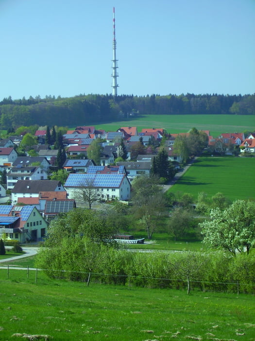
Tour gallery


Tour map and elevation profile
Minimum height 467 m
Maximum height 696 m
More about the tour author
|
|
painfully58 |
Comments

GPS tracks
Trackpoints-
GPX / Garmin Map Source (gpx) download
-
TCX / Garmin Training Center® (tcx) download
-
CRS / Garmin Training Center® (crs) download
-
Google Earth (kml) download
-
G7ToWin (g7t) download
-
TTQV (trk) download
-
Overlay (ovl) download
-
Fugawi (txt) download
-
Kompass (DAV) Track (tk) download
-
Track data sheet (pdf) download
-
Original file of the author (gpx) download
More about the tour author
|
|
painfully58 |
Add to my favorites
Remove from my favorites
Edit tags
Open track
My score
Rate