
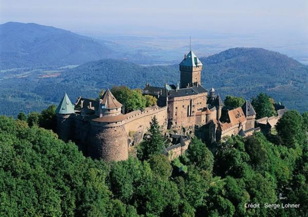

Von einem Parkplatz unterhalb von Thannenkirch geht es auf einem schönen Trail direkt zur Burg. Mit einem kurzen Abstecher zur Ruine der Oedenbourg geht es wieder zurück zum Ausgangspunkt.
Tour map and elevation profile
Minimum height 462 m
Maximum height 729 m
More about the tour author

|
Mo |
Comments

GPS tracks
Trackpoints-
GPX / Garmin Map Source (gpx) download
-
TCX / Garmin Training Center® (tcx) download
-
CRS / Garmin Training Center® (crs) download
-
Google Earth (kml) download
-
G7ToWin (g7t) download
-
TTQV (trk) download
-
Overlay (ovl) download
-
Fugawi (txt) download
-
Kompass (DAV) Track (tk) download
-
Track data sheet (pdf) download
-
Original file of the author (gpx) download
More about the tour author
|
|
Mo |
Add to my favorites
Remove from my favorites
Edit tags
Open track
My score
Rate