


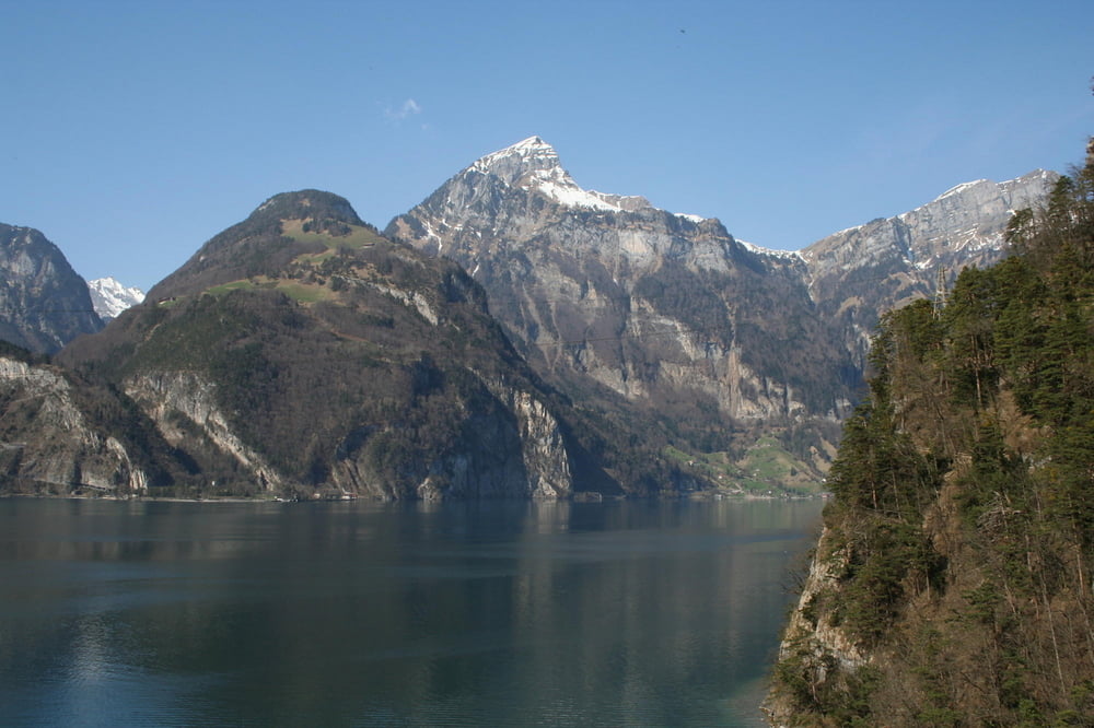
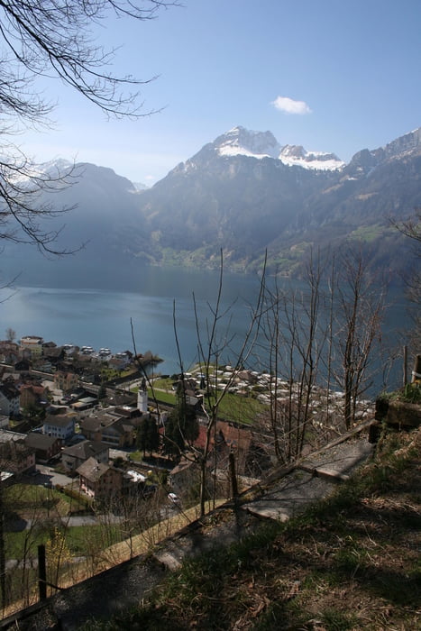
Von Flüelen bis Sisikon hat der Weg nur wenige Steigungen. Auch wenn es zunächst scheint, dass der Weg neben der Strasse herlangführt, so bessert sich die Situation bald. Die Autos werden in den Berg verbannt. Der Fussweg führt auf Seeseite aussen am Berg vorbei mit traumhafter Sicht auf Berge und Urner See.
Ab Sisikon geht es den Berg hinauf und man entfernt sich etwas mehr vom See.
Tour gallery


Tour map and elevation profile
Minimum height 428 m
Maximum height 817 m
More about the tour author
|
|
s-braeutigam |
Comments

Ausgangsort (Flüelen) und Ziel (Brunnen) sind mit den Schifffahrtsgesellschaft des Vierwaldstättersees und mit der SBB bestens zu erreichen.
GPS tracks
Trackpoints-
GPX / Garmin Map Source (gpx) download
-
TCX / Garmin Training Center® (tcx) download
-
CRS / Garmin Training Center® (crs) download
-
Google Earth (kml) download
-
G7ToWin (g7t) download
-
TTQV (trk) download
-
Overlay (ovl) download
-
Fugawi (txt) download
-
Kompass (DAV) Track (tk) download
-
Track data sheet (pdf) download
-
Original file of the author (gpx) download
More about the tour author
|
|
s-braeutigam |
Add to my favorites
Remove from my favorites
Edit tags
Open track
My score
Rate