

Start- u. Enpunkt der Tour ist Wolfersdorf.
Wir fahren ein kurzes Stück auf der Teerstraße Richtung Alterdorf.
Dann links Richtung Pandurensteig.
In Altrandsberg links auf den Radweg Richtung Miltach.
In Miltach dem Radweg nach rechts, Richtung Blaibach folgen.
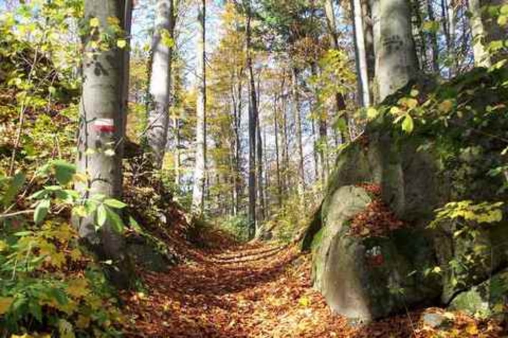
In Blaibach nehmen wir den Wanderweg B2 Richtung Haidstein.
Netter Anstieg bis zum Gipfel.
Von hier aus ca. 2,5 km geile Abfahrt nach Lederdorn.
Weiterfahrt auf Teerstraße bzw. Radweg zum Satzdorfer See (kurze Pause).
Richtung Chammünster und dann auf dem Nitsche-Weg auf den Lamberg.
Wanderweg Z7 Richtung Zandt.
Teerstraße ca. 5 km zurück Richtung Wdorf.
Tour map and elevation profile
Minimum height 357 m
Maximum height 707 m
More about the tour author

|
Andi_87 |
Comments

GPS tracks
Trackpoints-
GPX / Garmin Map Source (gpx) download
-
TCX / Garmin Training Center® (tcx) download
-
CRS / Garmin Training Center® (crs) download
-
Google Earth (kml) download
-
G7ToWin (g7t) download
-
TTQV (trk) download
-
Overlay (ovl) download
-
Fugawi (txt) download
-
Kompass (DAV) Track (tk) download
-
Track data sheet (pdf) download
-
Original file of the author (gpx) download
More about the tour author
|
|
Andi_87 |
Add to my favorites
Remove from my favorites
Edit tags
Open track
My score
Rate