Login

Forgot your login?

Cookies have to be accepted!
Your browser's cookie functionality is disabled. Please enable this functionality.

Not a member yet?

Register now
Login

Available for registred users only

Log in to use this feature.

Forgot your login?

Cookies have to be accepted!
Your browser's cookie functionality is disabled. Please enable this functionality.

Not a member yet?

Register now
Filter
Categories
Advanced filters
  • Distance (km)
  • Height
Save filters Reset filter

TrackRank

QRCode

Technical data

Distance25,1 km Height791 m Way down786 m Duration01:55 h:m Date24.04.2011
Scores Author Landscape Fun factor Fitness Technique

Statistics

910 Views Scores 94 Downloads Average
Rate
  • Track data sheet
  • Directions
  • Downloads

 diese Tour ist genial für Biker die wenig Zeit und viele Trails fahren wollen, wobei der  Hasensprungweg wird 3 X als Uphill benutzt.

Es sind die schönsten Trails rund um den Erzkopf, Anteil ca.80%.
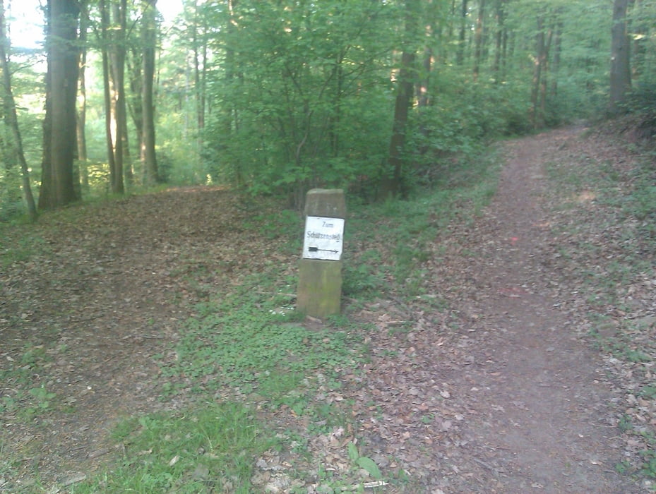
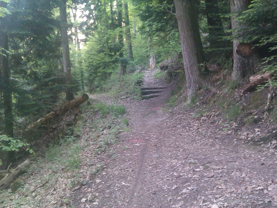
 

Tour gallery

Tour map and elevation profile

  • Open Street Map
  • Google
Minimum height 277 m Maximum height 456 m Detailed view

More about the tour author

lapierre
Member since 2008

Send private message

Comments

GPS tracks

Trackpoints
  • GPX / Garmin Map Source (gpx) download
  • TCX / Garmin Training Center® (tcx) download
  • CRS / Garmin Training Center® (crs) download
  • Google Earth (kml) download
  • G7ToWin (g7t) download
  • TTQV (trk) download
  • Overlay (ovl) download
  • Fugawi (txt) download
  • Kompass (DAV) Track (tk) download
  • Track data sheet (pdf) download
  • Original file of the author (gpx) download

More about the tour author

lapierre
Member since 2008

Send private message
Share track
Add to my favorites
Remove from my favorites
Edit tags
My score
Rate
Track: Tierparktrails
Type: Mountain bike
Distance: 25,1 km
Evaluated on:
Duration:
Day(s)
Hour(s)
Minute(s)
Score: Landscape Fun factor Fitness Technique