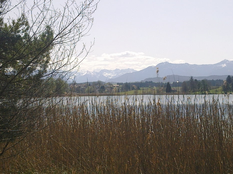
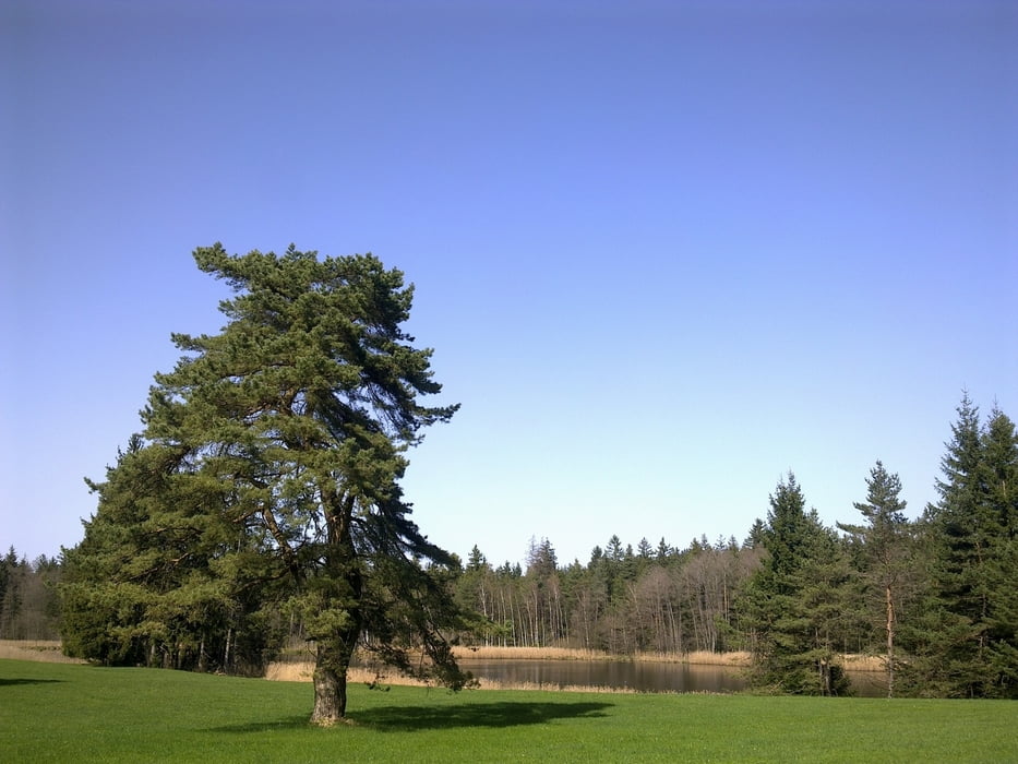
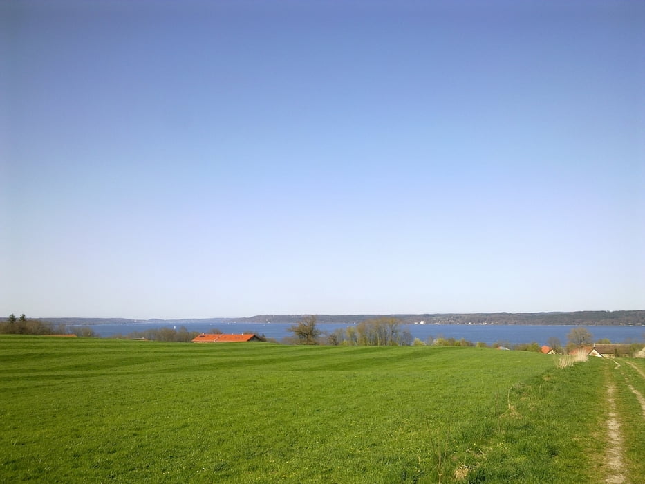
Login

Forgot your login?

Cookies have to be accepted!
Your browser's cookie functionality is disabled. Please enable this functionality.

Not a member yet?

Register now
Login

Available for registred users only

Log in to use this feature.

Forgot your login?

Cookies have to be accepted!
Your browser's cookie functionality is disabled. Please enable this functionality.

Not a member yet?

Register now
Filter
Categories
Advanced filters
  • Distance (km)
  • Height
Save filters Reset filter

TrackRank

QRCode

Technical data

Distance54,1 km Height363 m Way down366 m Duration03:12 h:m Date24.04.2011
Scores Author Landscape Fun factor Fitness Technique

Statistics

729 Views 1 Score 162 Downloads 4.00 Average
Rate
  • Track data sheet
  • Directions
  • Downloads

Tour gallery

Tour map and elevation profile

  • Open Street Map
  • Google
Minimum height 515 m Maximum height 615 m Detailed view

More about the tour author

peteraldi
Member since 2009

Send private message

Comments

BG69 on 30.04.2012

Schöne vielseitige Tour!

Bei dieser Runde kommt man (gefühlt...) an 101 Seen/Weihern vorbei, hat schöne Blicke auf die oberbayrischen Voralpen. Manche Streckenabschnitte bieten Trail-Spaß, wobei ich mir nicht sicher bin, ob man dort mit dem Bike fahren darf.
Am WE oder an Feiertagen sind die Wege an den Osterseen bzw. im Bernrieder Park bestimmt mit Fußgängern überfüllt, so dass dort das Radeln wohl eher einem Slalom gleichkommen dürfte.
Unter der Woche sollte es aber keine Probleme geben.
Nach starken Regenfällen sind manche Abschnitte wohl auch eher unangenehm zu befahren, es sei denn, man steht auf "Schlammschlachten".

GPS tracks

Trackpoints
  • GPX / Garmin Map Source (gpx) download
  • TCX / Garmin Training Center® (tcx) download
  • CRS / Garmin Training Center® (crs) download
  • Google Earth (kml) download
  • G7ToWin (g7t) download
  • TTQV (trk) download
  • Overlay (ovl) download
  • Fugawi (txt) download
  • Kompass (DAV) Track (tk) download
  • Track data sheet (pdf) download
  • Original file of the author (gpx) download

More about the tour author

peteraldi
Member since 2009

Send private message
Share track
Add to my favorites
Remove from my favorites
Edit tags
My score
Rate
Track: MTB 04: Sankt Heinrich, Osterseen, Bernried, Senkt Heinrich
Type: Mountain bike
Distance: 54,1 km
Evaluated on:
Duration:
Day(s)
Hour(s)
Minute(s)
Score: Landscape Fun factor Fitness Technique