


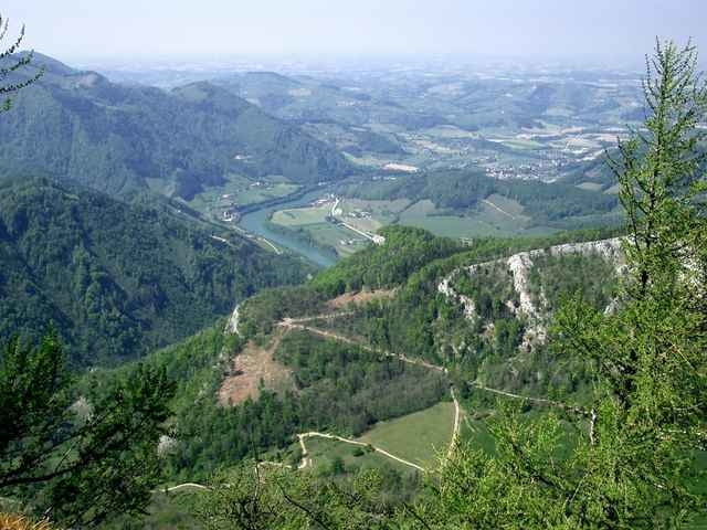
Diese wunderschöne MTB-Tour startet in Reichraming und führt auf wunderschönen Forstwegen zuerst in Richtung Molln und anschließend nach der Abfahrt über Mösern auf die Hohe Dirn. Der wunderschöne Ausblick beim Gipfelkreuz sollte auf jeden Fall genossen werden. Anschließend ist eine Rast auf der Schosser Hütte empfehlenswert, bevor die Tour in Richtung Losenstein und weiter nach Reichraming zu unserem Ausgangspunkt führt. Das Teilstück auf der Bundesstraße kann man sich sparen, wenn man nicht nach Losenstein fährt, sondern direkt am Radweg nach Reichraming bleibt.
Further information at
http://www.bike-4-fun.atTour gallery
Tour map and elevation profile
Minimum height 344 m
Maximum height 1194 m
More about the tour author
|
|
franz.resch |
Comments

Von Steyr auf der Bundesstraße 115 in Richtung Altemnarkt bis nach Reichraming.
GPS tracks
Trackpoints-
GPX / Garmin Map Source (gpx) download
-
TCX / Garmin Training Center® (tcx) download
-
CRS / Garmin Training Center® (crs) download
-
Google Earth (kml) download
-
G7ToWin (g7t) download
-
TTQV (trk) download
-
Overlay (ovl) download
-
Fugawi (txt) download
-
Kompass (DAV) Track (tk) download
-
Track data sheet (pdf) download
-
Original file of the author (gpx) download
More about the tour author
|
|
franz.resch |
Add to my favorites
Remove from my favorites
Edit tags
Open track
My score
Rate