Login

Forgot your login?

Cookies have to be accepted!
Your browser's cookie functionality is disabled. Please enable this functionality.

Not a member yet?

Register now
Login

Available for registred users only

Log in to use this feature.

Forgot your login?

Cookies have to be accepted!
Your browser's cookie functionality is disabled. Please enable this functionality.

Not a member yet?

Register now
Filter
Categories
Advanced filters
  • Distance (km)
  • Height
Save filters Reset filter

TrackRank

QRCode

Technical data

Distance53,5 km Height1017 m Way down1019 m Duration00:00 h:m Date25.04.2011
Scores Author Landscape Fun factor Fitness Technique

Statistics

284 Views Scores 30 Downloads Average
Rate
  • Track data sheet
  • Directions
  • Downloads
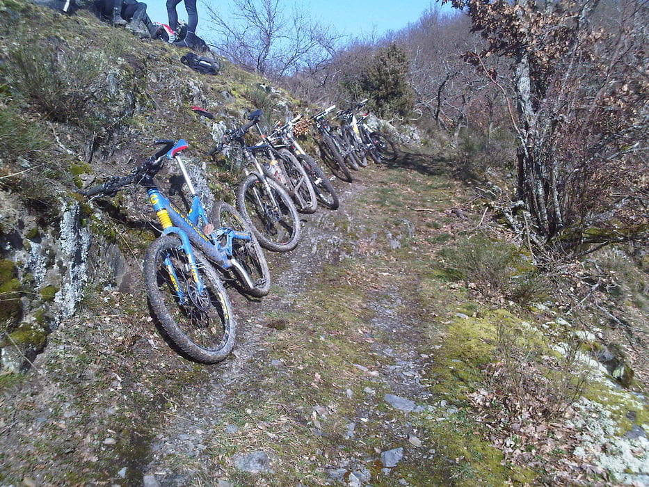
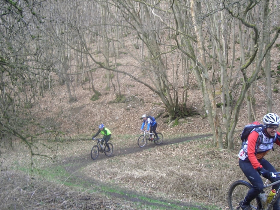
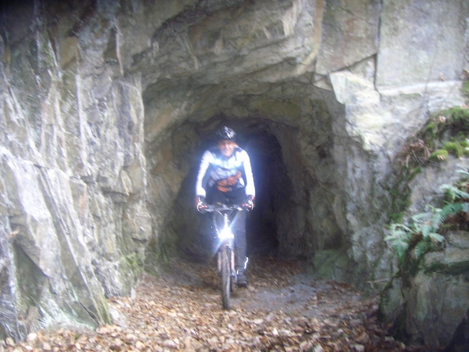
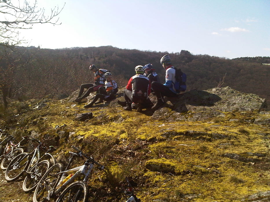
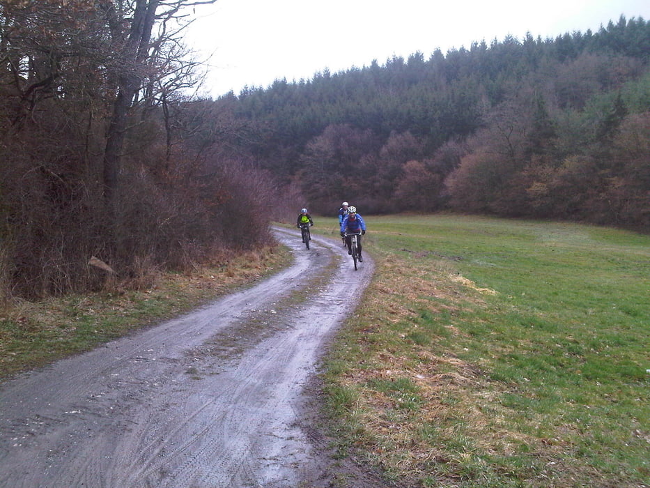
Von Sohren auf dem kürzesten Weg ins Hahnenbachtal. Dort das volle Programm. Zum Abschluß noch eine Abstecher auf den Ausoniusweg und dann zurück zum Ausgangspunkt 

Further information at

http://www.x-sport-kastellaun.de/galerie/thumbnails.php?album=317

Tour gallery

Tour map and elevation profile

  • Open Street Map
  • Google
Minimum height 265 m Maximum height 458 m Detailed view

More about the tour author

der_Hunsruecker
Member since 2008

Send private message

Comments

GPS tracks

Trackpoints
  • GPX / Garmin Map Source (gpx) download
  • TCX / Garmin Training Center® (tcx) download
  • CRS / Garmin Training Center® (crs) download
  • Google Earth (kml) download
  • G7ToWin (g7t) download
  • TTQV (trk) download
  • Overlay (ovl) download
  • Fugawi (txt) download
  • Kompass (DAV) Track (tk) download
  • Track data sheet (pdf) download
  • Original file of the author (gpx) download

More about the tour author

der_Hunsruecker
Member since 2008

Send private message
Share track
Add to my favorites
Remove from my favorites
Edit tags
My score
Rate
Track: MTB Trainingslager X-Sport März 2011
Type: Mountain bike
Distance: 53,5 km
Evaluated on:
Duration:
Day(s)
Hour(s)
Minute(s)
Score: Landscape Fun factor Fitness Technique