


Streckenorte:
Huttenschule Frankfurt (Oder) - SMC - Kliestow - Hexenberg - Wilhelmshof - Wulkow - Treplin - B5 - Stadtwald - Wupis Imbiss - Stadtzentrum Frankfurt (Oder)
Karten-Empfehlung:
Radwander- und Freizeitkarte MÄRKISCH-ODERLAND / LEBUSER LAND, Maßstab 1:75.000, ISBN 978-3-934895-58-4, Pietruska-Verlag, 4,90 Euro.
Straßen- und Wegequalität:
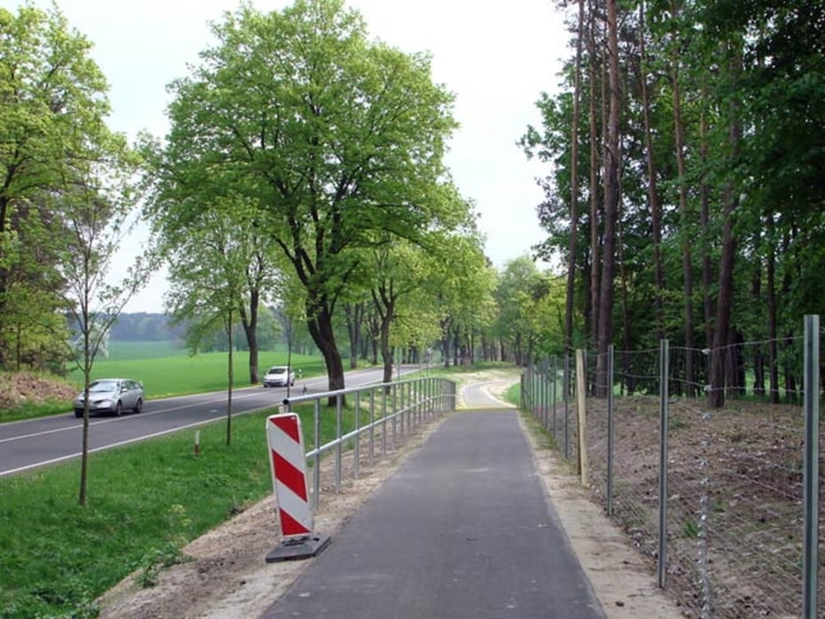
Am Spitz-Multi-Center vorbei führt ein ruppiger Feldweg. Zwischen Hexenberg und Wilhelmshof bremst ein sandiger Feldweg ebenfalls die Fahrt. Zwischen Wulkow und Treplin muss man ebenfalls einen sandigen Weg passieren. An der B5 entlang gibt es einen guten Radweg, der familienfreundlich angelegt wurde. Durch den Frankfurter Stadtwald rollt man auf grasigen, sandigen bzw. schottrigen, aber relativ festen Waldwegen bis zu Wupis Imbiss.
Sehenswertes:
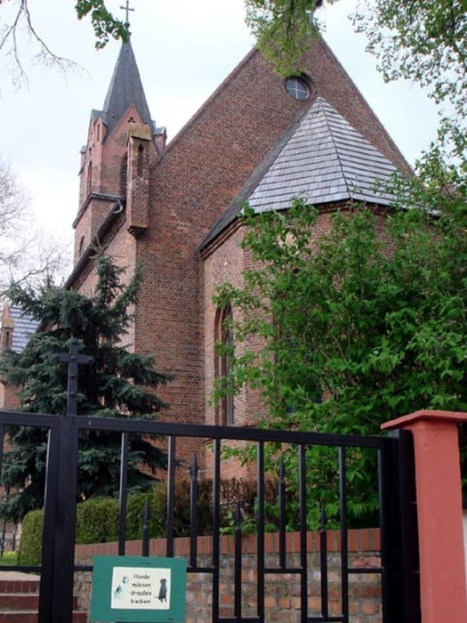
- Kirche in Kliestow
- Ökospeicher in Wulkow
- Kirche mit Storchennest in Treplin
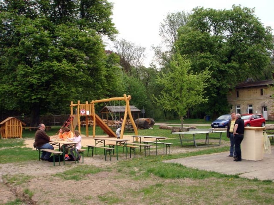
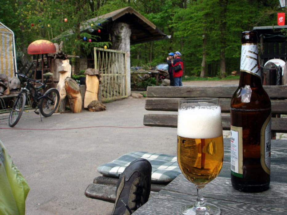
- Wupis Imbiss im Stadtwald
- Oderturm in Frankfurts City
Interessante Webseiten:
http://de.wikipedia.org/wiki/Frankfurt_(Oder)
http://www.oekospeicher.de
http://de.wikipedia.org/wiki/Treplin
http://www.wupis.de
Further information at
http://www.rotofo.de/radTour gallery
Tour map and elevation profile
Minimum height 2 m
Maximum height 101 m
More about the tour author
|
|
celsius |
Comments

Die Start- und Zielorte liegen relativ nahe am Frankfurter Bahnhof. Dort halten Züge der Deutschen Bahn und der Ostdeutschen Eisenbahn. Bis zur Huttenschule ist es ca. 1 Kilometer. Vom Stadtzentrum zum Bahnhof von FF ist es ebenfalls einen Kilometer weit.
GPS tracks
Trackpoints-
GPX / Garmin Map Source (gpx) download
-
TCX / Garmin Training Center® (tcx) download
-
CRS / Garmin Training Center® (crs) download
-
Google Earth (kml) download
-
G7ToWin (g7t) download
-
TTQV (trk) download
-
Overlay (ovl) download
-
Fugawi (txt) download
-
Kompass (DAV) Track (tk) download
-
Track data sheet (pdf) download
-
Original file of the author (gpx) download
More about the tour author
|
|
celsius |
Add to my favorites
Remove from my favorites
Edit tags
Open track
My score
Rate