


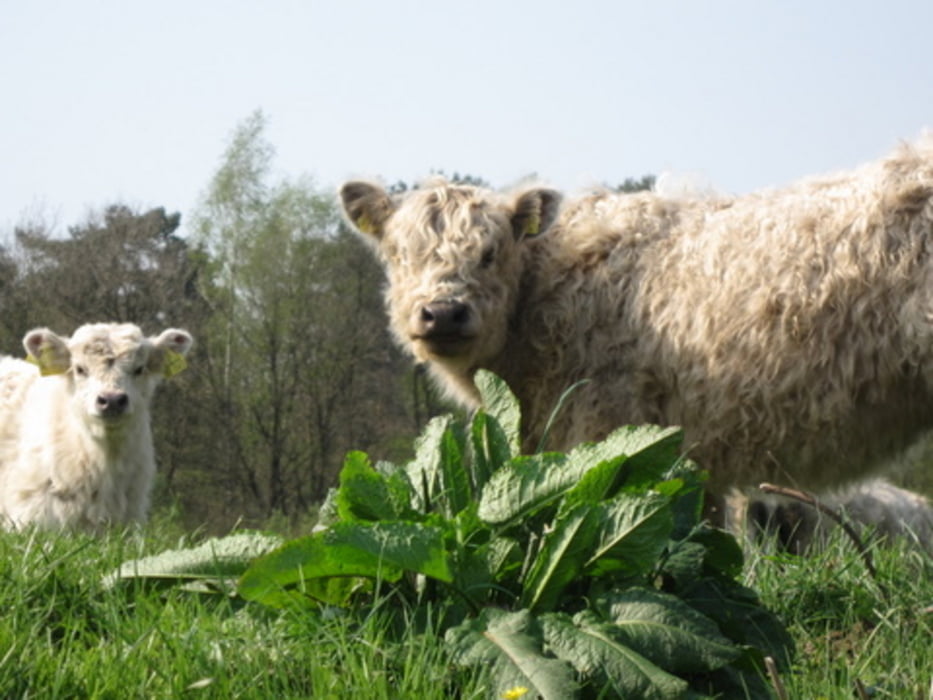
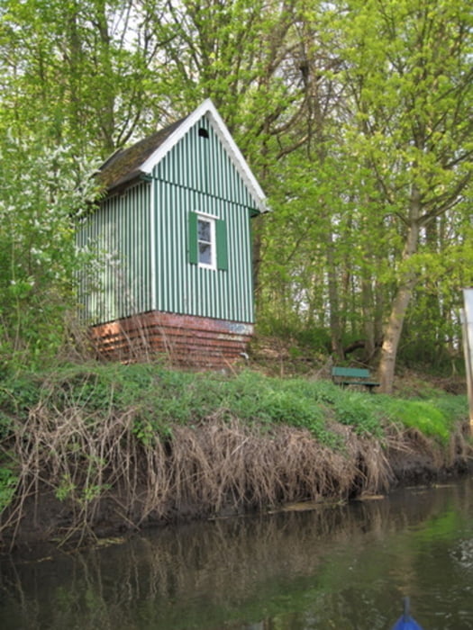
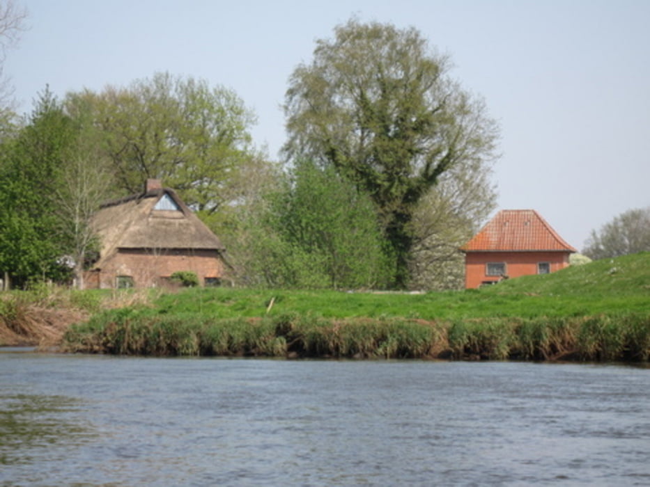
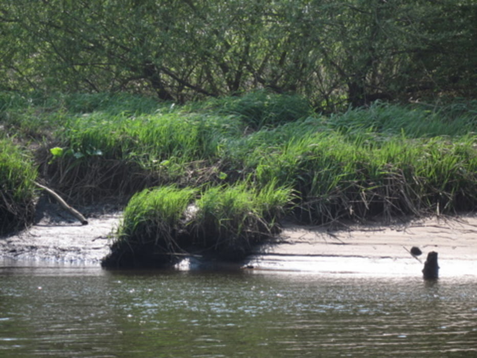
Fahrt auf der oberen Stör von Arpsdorf bis Grönhude. Der Fluss fliesst durch ein Naturschutzgebiet und wird wieder renaturiert. Viele Tiere säumen das Ufer und denen geht es hier sichtbar gut. Egal ob Rinder oder Schafe, alle sind echte Prachtexemplare. Die Fahrt endet mit leichtem Gezeiteneinfluss am Hafen von Grönhude.
Tour gallery
Tour map and elevation profile
Minimum height -21 m
Maximum height 13 m
More about the tour author
|
|
sugesei |
Comments

über Itzehoe geht es auf kleinen Strassen durchs Naturschutzgebiet zur Einsatzstelle. Gute Parkmöglichkeiten an Start und Ziel.
GPS tracks
Trackpoints-
GPX / Garmin Map Source (gpx) download
-
TCX / Garmin Training Center® (tcx) download
-
CRS / Garmin Training Center® (crs) download
-
Google Earth (kml) download
-
G7ToWin (g7t) download
-
TTQV (trk) download
-
Overlay (ovl) download
-
Fugawi (txt) download
-
Kompass (DAV) Track (tk) download
-
Track data sheet (pdf) download
-
Original file of the author (gpx) download
More about the tour author
|
|
sugesei |
Add to my favorites
Remove from my favorites
Edit tags
Open track
My score
Rate