


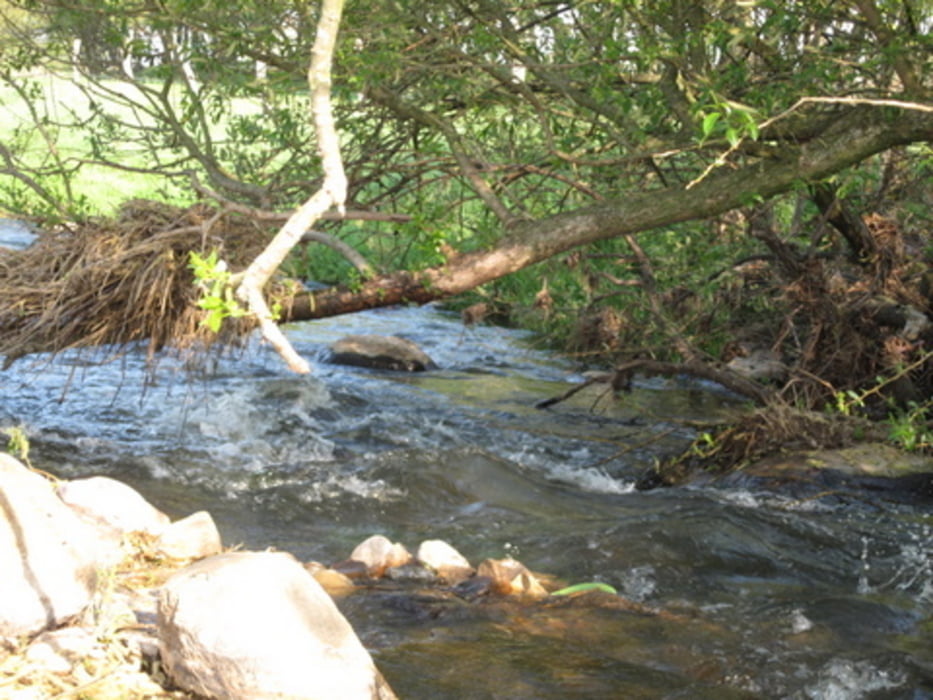
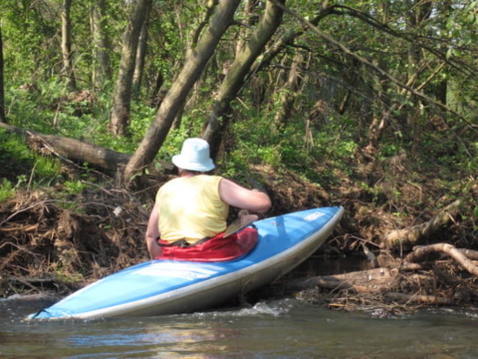
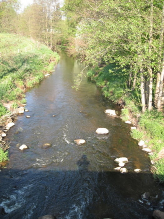
3 Flüsse Fahrt mit Schmalfelder Au, Hudau und Bramau. Wir paddeln von Schmalfeld bis Wrist. Zur Renaturierung wurden Hinkelsteine ins Wasser befördert, die stilvoll umfahren oder akrobatsich umtragen werden können. Am Anfang Kleinflussmässig, an Bad Bramsetd dann problemlos und breit. Wiede begegnen einem zahlose Störche auf den Masten hinter dem Klärwerk. Ende ist an der Strassenbrücke in Wrist.
Tour gallery

Tour map and elevation profile
Minimum height -113 m
Maximum height 24 m
More about the tour author
|
|
sugesei |
Comments

Gute Einsatzstelle an der Brücke in Schmalfeld, danach kann man auch in Bad Bramstedt aufhöhren.
GPS tracks
Trackpoints-
GPX / Garmin Map Source (gpx) download
-
TCX / Garmin Training Center® (tcx) download
-
CRS / Garmin Training Center® (crs) download
-
Google Earth (kml) download
-
G7ToWin (g7t) download
-
TTQV (trk) download
-
Overlay (ovl) download
-
Fugawi (txt) download
-
Kompass (DAV) Track (tk) download
-
Track data sheet (pdf) download
-
Original file of the author (gpx) download
More about the tour author
|
|
sugesei |
Add to my favorites
Remove from my favorites
Edit tags
Open track
My score
Rate