


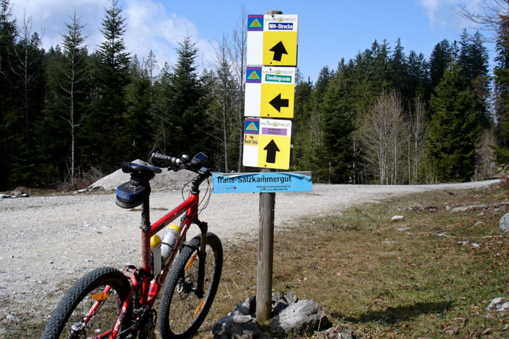
Wir starten beim Bahnhof in Bad Ischl und fahren auf Nebenwegen Richtung Rettenbach Alm. Etwas vorher zweigt rechts der Weg zur Hoisenrad Alm ab. Es ist alles bestens beschriftet.
Ab dem Rettenbach geht ein breiter schottriger Weg gleich mal ordentlich bergauf. Landschaftlich schöne Tour mit netter Einkehr auf der Hoisenrad Alm. Hier hat der Wirt einiges zu bieten.
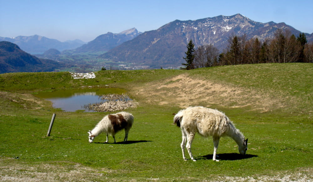
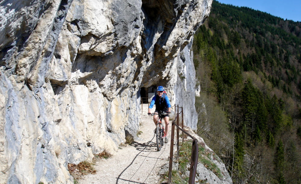
Gestärkt geht es dann weiter Richtung Ewige Wand. Eine unvergleichlich schöne Strecke im ganzen Salzkammergut. Netter Trail runter nach Bad Goisern.
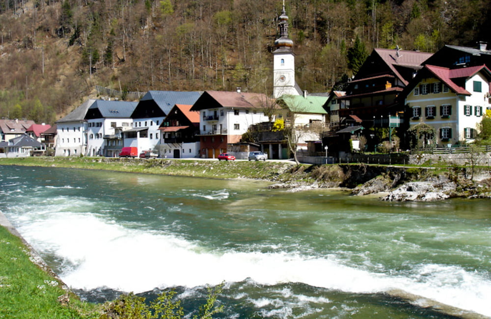
Es geht dann den Soleweg zurück nach Bad Ischl.
Mit dabei: Günter
Tour gallery
Tour map and elevation profile
Minimum height 403 m
Maximum height 1064 m
More about the tour author
|
|
innviertler |
Comments

Gestartet wird beim Bahnhof in Bad Ischl
GPS tracks
Trackpoints-
GPX / Garmin Map Source (gpx) download
-
TCX / Garmin Training Center® (tcx) download
-
CRS / Garmin Training Center® (crs) download
-
Google Earth (kml) download
-
G7ToWin (g7t) download
-
TTQV (trk) download
-
Overlay (ovl) download
-
Fugawi (txt) download
-
Kompass (DAV) Track (tk) download
-
Track data sheet (pdf) download
-
Original file of the author (gpx) download
More about the tour author
|
|
innviertler |
Add to my favorites
Remove from my favorites
Edit tags
Open track
My score
Rate