


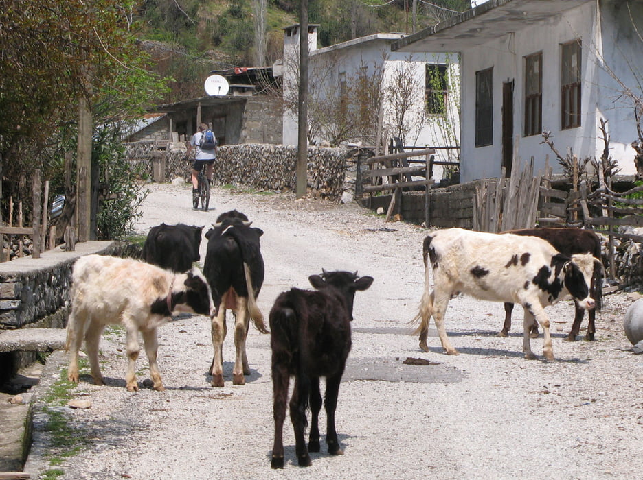
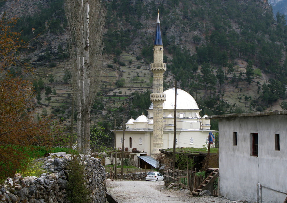
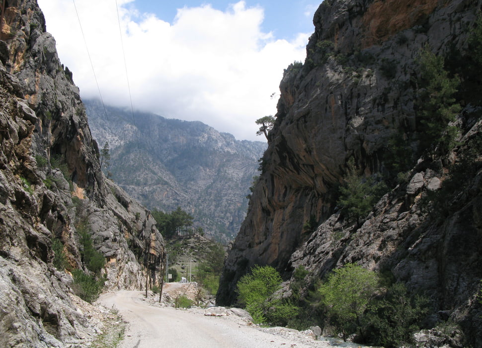
Tour auf Asphalt durch eine tiefe Schlucht ins „wilde“ Dorf Alacami.
Einfachweg, 100% Asphalt
Man kann die Tour nach dem Trackende auf einer Sandstraße noch ein Stückchen weiterfahren, man landet dann später in den Büschen.
Zurück: Am selben Weg.
Ausgangspunkt: „Niagara Piknik“
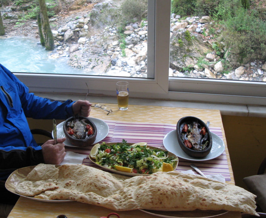
Einkehr: Niagara Piknik am Start (da gibt’s realy lecker hot Fish)
Start+Ende: „Niagara Piknik“ am Dim Cay Fluss, nähe Bucak
Auto: Alanya - In das Dim Cay Tal rein - 6-8 km nach dem Stausee bevor es nach Bucak rauf geht.
Bei zweifelhaften Abzweigungen (die im spitzen Winkel) sind im Track Hackerl in die abzubiegende Richtung gezeichnet.
Tour gallery
Tour map and elevation profile
Minimum height 215 m
Maximum height 658 m
More about the tour author

|
Comments

Start+Ende: „Niagara Piknik“ am Dim Cay Fluss, nähe Bucak
Auto: Alanya - In das Dim Cay Tal rein - 6-8 km nach dem Stausee bevor es nach Bucak rauf geht.
GPS tracks
Trackpoints-
GPX / Garmin Map Source (gpx) download
-
TCX / Garmin Training Center® (tcx) download
-
CRS / Garmin Training Center® (crs) download
-
Google Earth (kml) download
-
G7ToWin (g7t) download
-
TTQV (trk) download
-
Overlay (ovl) download
-
Fugawi (txt) download
-
Kompass (DAV) Track (tk) download
-
Track data sheet (pdf) download
-
Original file of the author (gpx) download
More about the tour author
|
|
Add to my favorites
Remove from my favorites
Edit tags
Open track
My score
Rate