


Laufstrecke der Gemeinde Hartl.
Natürlich kann diese auch zum Spazierengehen und zum Nordicwalking verwendet werden.
Gelegentlich sind auch MTBs unterwegs ;-) , zumindest zum aufwärmen.
Streckenverlauf ist mit Regenbogenmakierungen und Richtungstafeln gut gekennzeichnet. Eigentlich kein Gps-Track notwendig.
Natürlich kann diese auch zum Spazierengehen und zum Nordicwalking verwendet werden.
Gelegentlich sind auch MTBs unterwegs ;-) , zumindest zum aufwärmen.
Streckenverlauf ist mit Regenbogenmakierungen und Richtungstafeln gut gekennzeichnet. Eigentlich kein Gps-Track notwendig.
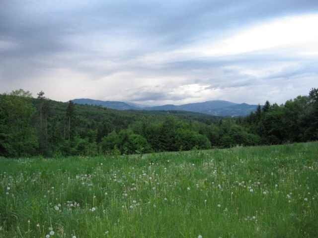
Tour gallery
Tour map and elevation profile
Minimum height 338 m
Maximum height 451 m
More about the tour author

|
Comments

B54 von Kaindorf kommend: linksabbiegen nach Omv Tankstelle Richtung Hartl.
B54 von Gleisdorf kommend: rechtsabbiegen nach VW Werkstatt bzw Gasthaus Steinbauer
Strasse Richtung Gemeindamt Hartl folgen.
B54 von Gleisdorf kommend: rechtsabbiegen nach VW Werkstatt bzw Gasthaus Steinbauer
Strasse Richtung Gemeindamt Hartl folgen.
GPS tracks
Trackpoints-
GPX / Garmin Map Source (gpx) download
-
TCX / Garmin Training Center® (tcx) download
-
CRS / Garmin Training Center® (crs) download
-
Google Earth (kml) download
-
G7ToWin (g7t) download
-
TTQV (trk) download
-
Overlay (ovl) download
-
Fugawi (txt) download
-
Kompass (DAV) Track (tk) download
-
Track data sheet (pdf) download
-
Original file of the author (gpx) download
More about the tour author
|
|
Add to my favorites
Remove from my favorites
Edit tags
Open track
My score
Rate