


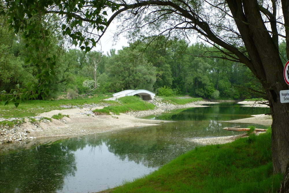
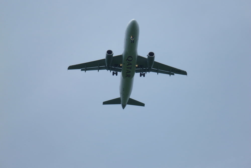
Die Wanderung beginnt in Schönau an der Donau bei Hermie's Radltreff und mit einen kurzen Umweg direkt zur Donau, danach immer dem Fluss entlang, vorbei an gepflegten Fischerhütten unter der Einflugschneise des Flughafen (die Flugzeuge sind keine 50m mehr hoch). Über Gänsehaufen zum Kühwörter Wasser (mit Aussichtsplattform) zum Damm und retour zum Ausgangspunkt.
Alle Fotos siehe Link
Further information at
https://skydrive.live.com/#cid=DFF63CE9C39979FE&id=DFF63CE9C39979FE%212743Tour gallery

Tour map and elevation profile
Minimum height 147 m
Maximum height 163 m
More about the tour author

|
Herbiy |
Comments

GPS tracks
Trackpoints-
GPX / Garmin Map Source (gpx) download
-
TCX / Garmin Training Center® (tcx) download
-
CRS / Garmin Training Center® (crs) download
-
Google Earth (kml) download
-
G7ToWin (g7t) download
-
TTQV (trk) download
-
Overlay (ovl) download
-
Fugawi (txt) download
-
Kompass (DAV) Track (tk) download
-
Track data sheet (pdf) download
-
Original file of the author (gpx) download
More about the tour author
|
|
Herbiy |
Add to my favorites
Remove from my favorites
Edit tags
Open track
My score
Rate