


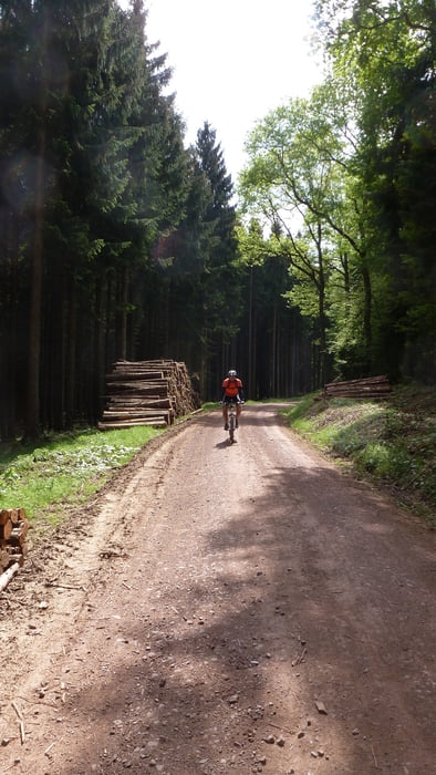
Eine landschaftlich schöne und abwechslungsreiche Tour ohne besondere technische Ansprüche. Leitlinien dieser Tour sind das Moseltal, das Tal der Kleinen Dhron und der Fellerbach.
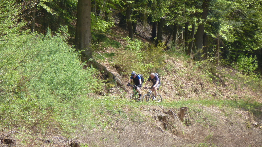
Knackige Abfahrt vom Feriendorf Landal (Leiwen) ins Tal der Kl. Dhron. Wunderschöne Fahrt entlang der Kl. Dhron. Die GPS-Daten führen in der Abfahrt nach Mehring in einen Singletrail (technisch sehr anspruchsvoll). Wer ihn meiden möchte, folgt einfach dem Hauptweg abwärts.
Die reine Fahrtzeit liegt zwischen 3 1/2 und 4 Stunden.
Further information at
http://www.mtb-club-mehring.de/index.htmlTour gallery
Tour map and elevation profile
Minimum height 117 m
Maximum height 632 m
More about the tour author
|
|
cubeandy |
Comments

Empfohlene Einstiege in die Tour:
Mehring, Campingplatz
Leiwen, Ferienanlage Eurostrand
Fell, Ortsausgang Richtung Mehringer Höhe
GPS tracks
Trackpoints-
GPX / Garmin Map Source (gpx) download
-
TCX / Garmin Training Center® (tcx) download
-
CRS / Garmin Training Center® (crs) download
-
Google Earth (kml) download
-
G7ToWin (g7t) download
-
TTQV (trk) download
-
Overlay (ovl) download
-
Fugawi (txt) download
-
Kompass (DAV) Track (tk) download
-
Track data sheet (pdf) download
-
Original file of the author (tcx) download
More about the tour author
|
|
cubeandy |
Add to my favorites
Remove from my favorites
Edit tags
Open track
My score
Rate