Login

Forgot your login?

Cookies have to be accepted!
Your browser's cookie functionality is disabled. Please enable this functionality.

Not a member yet?

Register now
Login

Available for registred users only

Log in to use this feature.

Forgot your login?

Cookies have to be accepted!
Your browser's cookie functionality is disabled. Please enable this functionality.

Not a member yet?

Register now
Filter
Categories
Advanced filters
  • Distance (km)
  • Height
Save filters Reset filter

TrackRank

QRCode

Technical data

Distance23,3 km Height531 m Way down532 m Duration01:42 h:m Date05.05.2011
Scores Author Landscape Fun factor Fitness Technique

Statistics

301 Views Scores 45 Downloads Average
Rate
  • Track data sheet
  • Directions
  • Downloads

Super Tour von Katsdorf ins Gusental über Lungitz und wieder zurück.

Wiedereinmal toll und mit vollem Einsatz vorbereitet von unserem GÜ.
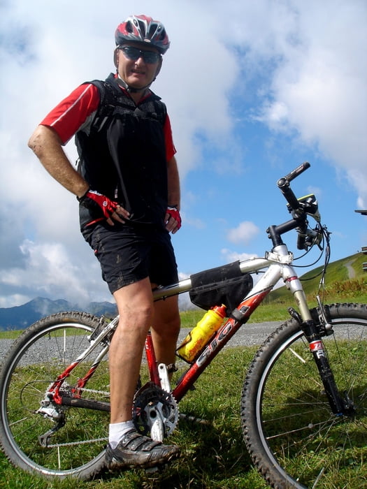
Tour gallery

Tour map and elevation profile

  • Open Street Map
  • Google
Minimum height 252 m Maximum height 384 m Detailed view

More about the tour author

andy130
Member since 2007

Send private message

Comments

GPS tracks

Trackpoints
  • GPX / Garmin Map Source (gpx) download
  • TCX / Garmin Training Center® (tcx) download
  • CRS / Garmin Training Center® (crs) download
  • Google Earth (kml) download
  • G7ToWin (g7t) download
  • TTQV (trk) download
  • Overlay (ovl) download
  • Fugawi (txt) download
  • Kompass (DAV) Track (tk) download
  • Track data sheet (pdf) download
  • Original file of the author (gpx) download

More about the tour author

andy130
Member since 2007

Send private message
Share track
Add to my favorites
Remove from my favorites
Edit tags
My score
Rate
Track: Katsdorf- Gusental
Type: Mountain bike
Distance: 23,3 km
Evaluated on:
Duration:
Day(s)
Hour(s)
Minute(s)
Score: Landscape Fun factor Fitness Technique