


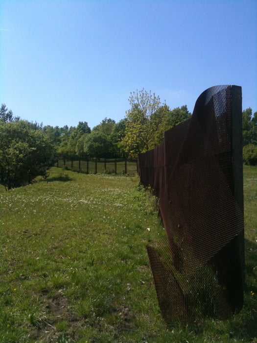
Die Tour startet in Maroldsweisach und führt zunächst entlang der fränkisch-thüringischen Grenze, zum guten Teil auf dem ehem. Grenzstreifen (Hinweis: es ist nicht gut zu fahren auf den Panzernplatten, Reifen mit einer Breite < 2,2 können in den längs stehenden Löchern einsacken).
High-Light ist der Große Gleichberg mit einer Single-Trail-Abfahrt auf der Nordseite auf den Gleichbergsattel.
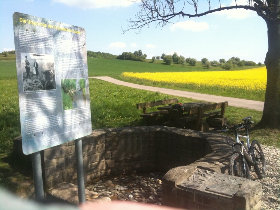
Ein paar Schiebepassagen sind dabei aber grds. alles fahrbar. Tolle Landschaft, fantastische Blicke nach Franken, in die Rhön und auf den Thüringer Wald.
Tour gallery


Tour map and elevation profile
Minimum height 250 m
Maximum height 676 m
More about the tour author

|
Pitcairn |
Comments

GPS tracks
Trackpoints-
GPX / Garmin Map Source (gpx) download
-
TCX / Garmin Training Center® (tcx) download
-
CRS / Garmin Training Center® (crs) download
-
Google Earth (kml) download
-
G7ToWin (g7t) download
-
TTQV (trk) download
-
Overlay (ovl) download
-
Fugawi (txt) download
-
Kompass (DAV) Track (tk) download
-
Track data sheet (pdf) download
-
Original file of the author (gpx) download
More about the tour author
|
|
Pitcairn |
Add to my favorites
Remove from my favorites
Edit tags
Open track
My score
Rate