
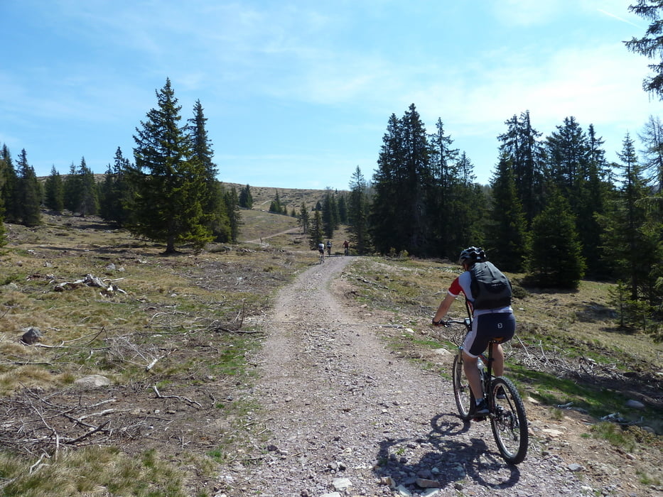

Von Schlaneid aus geht es der alten Verbindungsstraße nach Vöran und dort auf Asphalt aufwärts bis zur Leadneralm. Von da auf Forststraße weiter gemütlich aufwärts bis zum Auener Jöchl. Weiter auf Singletrail bis hinauf zu den sagenumwobenen Stoanernen Mandlen.
Nach dem Gipfelerlebnis geht es über Wiesen und über Stock und Stein abwärts bis zur Möltner Kaser und weiter über den E5 bis nach Mölten. Von hier über einen Singletrail wieder zurück nach Schlaneid.
Tour map and elevation profile
Minimum height 1090 m
Maximum height 2012 m
More about the tour author

|
saltenbike |
Comments

GPS tracks
Trackpoints-
GPX / Garmin Map Source (gpx) download
-
TCX / Garmin Training Center® (tcx) download
-
CRS / Garmin Training Center® (crs) download
-
Google Earth (kml) download
-
G7ToWin (g7t) download
-
TTQV (trk) download
-
Overlay (ovl) download
-
Fugawi (txt) download
-
Kompass (DAV) Track (tk) download
-
Track data sheet (pdf) download
-
Original file of the author (gpx) download
More about the tour author
|
|
saltenbike |
Add to my favorites
Remove from my favorites
Edit tags
Open track
My score
Rate