Login

Forgot your login?

Cookies have to be accepted!
Your browser's cookie functionality is disabled. Please enable this functionality.

Not a member yet?

Register now
Login

Available for registred users only

Log in to use this feature.

Forgot your login?

Cookies have to be accepted!
Your browser's cookie functionality is disabled. Please enable this functionality.

Not a member yet?

Register now
Filter
Categories
Advanced filters
  • Distance (km)
  • Height
Save filters Reset filter

TrackRank

QRCode

Technical data

Distance62,9 km Height744 m Way down687 m Duration03:15 h:m Date08.05.2011
Scores Author Landscape Fun factor Fitness Technique

Statistics

516 Views Scores 48 Downloads Average
Rate
  • Track data sheet
  • Directions
  • Downloads
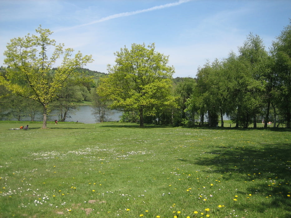
Schöne Tour durch den Westerwald vorbei an der Krombach-Talsperre und dem Heisterberger Weiher mit Einkehr am Siegerland-Flughafen(Weizen) und wieder zurück nach Weitefeld.Einfach zu fahrende Tour ohne Schwierigkeitsgrad.

Tour gallery

Tour map and elevation profile

  • Open Street Map
  • Google
Minimum height 416 m Maximum height 657 m Detailed view

More about the tour author

torti40
Member since 2009

Send private message

Comments

GPS tracks

Trackpoints
  • GPX / Garmin Map Source (gpx) download
  • TCX / Garmin Training Center® (tcx) download
  • CRS / Garmin Training Center® (crs) download
  • Google Earth (kml) download
  • G7ToWin (g7t) download
  • TTQV (trk) download
  • Overlay (ovl) download
  • Fugawi (txt) download
  • Kompass (DAV) Track (tk) download
  • Track data sheet (pdf) download
  • Original file of the author (gpx) download

More about the tour author

torti40
Member since 2009

Send private message
Share track
Add to my favorites
Remove from my favorites
Edit tags
My score
Rate
Track: Weitefeld-Krombachtalsperre-Heisterberger Weiher-Weitefeld
Type: Mountain bike
Distance: 62,9 km
Evaluated on:
Duration:
Day(s)
Hour(s)
Minute(s)
Score: Landscape Fun factor Fitness Technique