


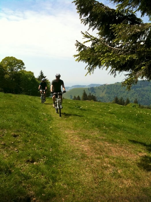
Von der Ortschaft Wald aus geht es erst mal der Strasse entlang mit kontinuierlicher Steigung bis Wolfsgrube. Bei Resti Poo-Alp kurze Einkehr.
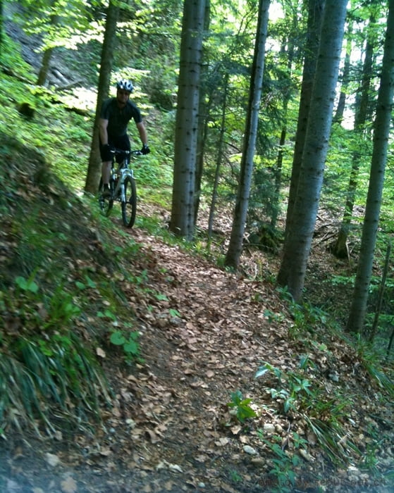
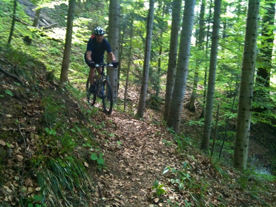
Danach noch hoch bis Höchhand. Von dort geht es runter entlang der Wiese. Unten angekommen, mündet ein Kiesweg zum Tössstock, darauf folgt ein interessanter single trail mit sehr kniffligen Wenden. Bei Nässe nicht Fahrbar. Die letzten Höhenmeter zur Tössscheidi sind sehr steiler. Und für Profi Biker vielleicht Fahrbar.
Danach dem Töss entlang bis kurz vor Steg, und zurück dem Strassen Bikeweg nach Wald.
Gute Tour für die Fitness und durchaus ausbaufähig.
Further information at
http://connect.garmin.com/activity/84369213Tour gallery
Tour map and elevation profile
Minimum height 611 m
Maximum height 1311 m
More about the tour author
|
|
Tricky |
Comments

GPS tracks
Trackpoints-
GPX / Garmin Map Source (gpx) download
-
TCX / Garmin Training Center® (tcx) download
-
CRS / Garmin Training Center® (crs) download
-
Google Earth (kml) download
-
G7ToWin (g7t) download
-
TTQV (trk) download
-
Overlay (ovl) download
-
Fugawi (txt) download
-
Kompass (DAV) Track (tk) download
-
Track data sheet (pdf) download
-
Original file of the author (gpx) download
More about the tour author
|
|
Tricky |
Add to my favorites
Remove from my favorites
Edit tags
Open track
My score
Rate