


Die Tour startet am Bahnhof in Tegernsee und geht auf guten Forststrassen in drei kleineren Anstiegen bis zum Spitzingsee. Von hier geht es hoch zur Rotwand. Die Abfahrt von der Rotwand durch den Pfanngraben zurück zur Valepp ist recht anspruchsvoll, im oberen Teil wird man um das eine oder andere Schiebestück nicht drumrumkommen.
Die Tour kann jederzeit noch ausgebaut werden (z.B. kann man noch den Wallberg mitnehmen) oder aber auch entschärft (Rotwand weglassen und nur durch die Valepp rollen)
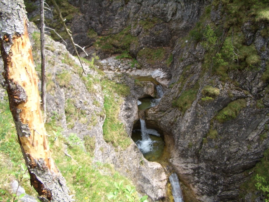
Tour gallery
Tour map and elevation profile
Minimum height 693 m
Maximum height 1727 m
More about the tour author
|
|
Thane |
Comments

GPS tracks
Trackpoints-
GPX / Garmin Map Source (gpx) download
-
TCX / Garmin Training Center® (tcx) download
-
CRS / Garmin Training Center® (crs) download
-
Google Earth (kml) download
-
G7ToWin (g7t) download
-
TTQV (trk) download
-
Overlay (ovl) download
-
Fugawi (txt) download
-
Kompass (DAV) Track (tk) download
-
Track data sheet (pdf) download
-
Original file of the author (gpx) download
More about the tour author
|
|
Thane |
Add to my favorites
Remove from my favorites
Edit tags
Open track
My score
Rate