

Charakter : ausgedehnter Spaziergang; kinderwagentauglich.
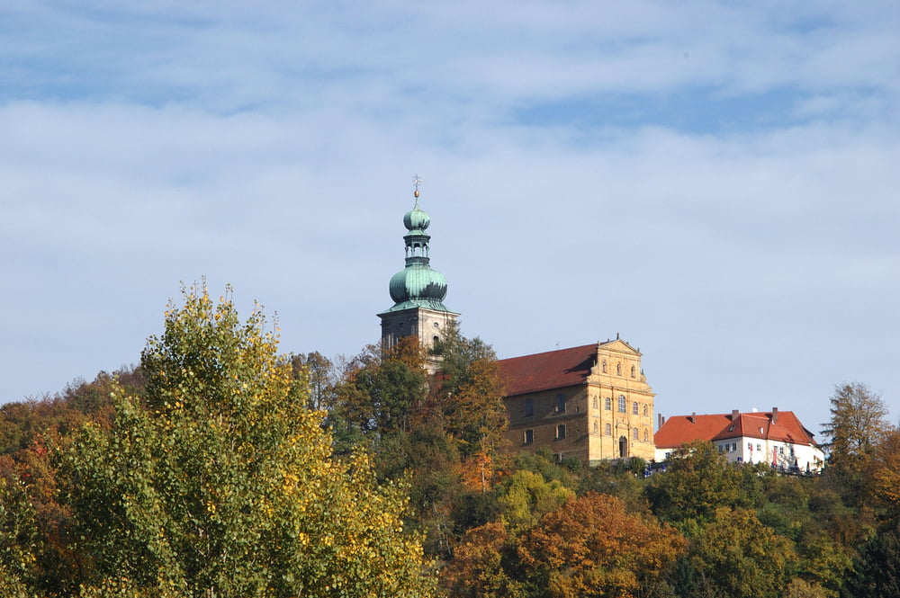
Einkehren : Berggasthof bei Mariahilfbergkirche (mit Terrasse)
Kurzbeschreibung
Ausgedehnter Spaziergang auf gut begehbaren Wegen im ältesten Naherholungsgebiet Ambergs. Er führt abwechlungsreich über Wiesen und Felder und ist besonders im Frühjahr zur Blütezeit empfehlenswert. Im zweiten Abschnitt ist der Weg sehr sonnig gelegen. Im Anschluss an die Wanderung bietet sich ein Besuch der Bergkirche und eine Einkehr in der dazugehörigen Wirtschaft an.
Further information at
http://www.freizeit-as.de/wanderungen/mariahilfbergrundweg.pdfTour map and elevation profile
Minimum height 399 m
Maximum height 485 m
More about the tour author
|
|
freizeit-as |
Comments

Mit dem Auto auf den Mariahilfbergparkplatz .
GPS tracks
Trackpoints-
GPX / Garmin Map Source (gpx) download
-
TCX / Garmin Training Center® (tcx) download
-
CRS / Garmin Training Center® (crs) download
-
Google Earth (kml) download
-
G7ToWin (g7t) download
-
TTQV (trk) download
-
Overlay (ovl) download
-
Fugawi (txt) download
-
Kompass (DAV) Track (tk) download
-
Track data sheet (pdf) download
-
Original file of the author (gpx) download
More about the tour author
|
|
freizeit-as |
Add to my favorites
Remove from my favorites
Edit tags
Open track
My score
Rate