


Tour von St. Cateriana über den Passo Zebru (3000m) und zurück.
Zuerst die Fahrstraße von St. Cateriana Richtung Zebru hoch. An deren Ende kann man sich noch einen Kaffee an der Forni Hüttte gönnen, bevor es teilweise recht Steil (aber fahrbar) zur Pizzini Hütte hochgeht.
Das Essen auf der Pizzini ist durchaus empfehlenswert und auch der Wirt beglückt einen gerne mal mit einem Selbstgebrannten.
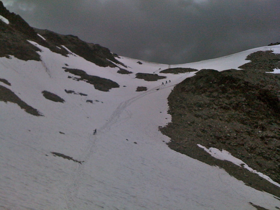
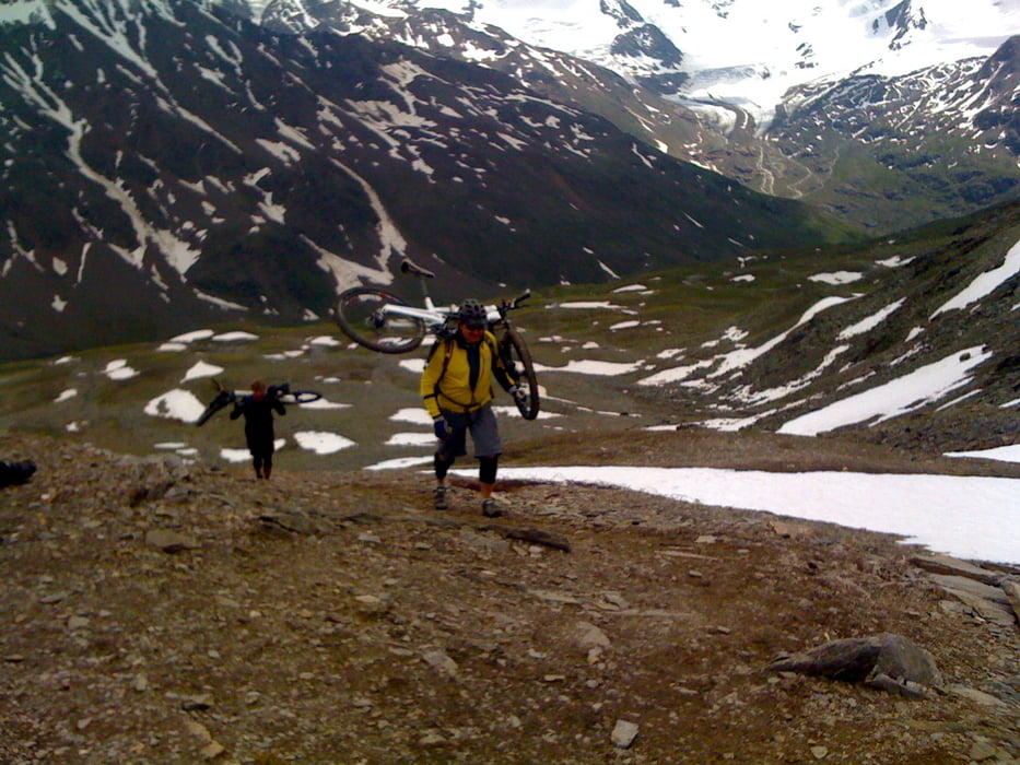
Ab da ist nur noch das erste Stück fahrbar, danach heißt es tragen oder schieben zum Zebru hoch.
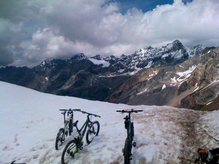
Auf der Rückseite können immer noch einige Schneefelder warten, bevor es auf einem längerem Trail runter in das Tal geht.
Auf der Straße dann wieder von Sant. Antonio zurück, hoch nach St. Cateriana.
Tour gallery
Tour map and elevation profile
Minimum height 1365 m
Maximum height 3011 m
More about the tour author

|
Comments

Einstieg war St. Caterina, kann aber natürlich auch Problemlos von Bormio aus gefahren werden, dann hat man die Steigung auf der Straße nach St. Caterina halt am Anfang.
GPS tracks
Trackpoints-
GPX / Garmin Map Source (gpx) download
-
TCX / Garmin Training Center® (tcx) download
-
CRS / Garmin Training Center® (crs) download
-
Google Earth (kml) download
-
G7ToWin (g7t) download
-
TTQV (trk) download
-
Overlay (ovl) download
-
Fugawi (txt) download
-
Kompass (DAV) Track (tk) download
-
Track data sheet (pdf) download
-
Original file of the author (gpx) download
More about the tour author
|
|
Add to my favorites
Remove from my favorites
Edit tags
Open track
My score
Rate