Login

Forgot your login?

Cookies have to be accepted!
Your browser's cookie functionality is disabled. Please enable this functionality.

Not a member yet?

Register now
Login

Available for registred users only

Log in to use this feature.

Forgot your login?

Cookies have to be accepted!
Your browser's cookie functionality is disabled. Please enable this functionality.

Not a member yet?

Register now
Filter
Categories
Advanced filters
  • Distance (km)
  • Height
Save filters Reset filter

TrackRank

QRCode

Technical data

Distance40,2 km Height489 m Way down502 m Duration00:00 h:m Date12.05.2011
Scores Author Landscape Fun factor Fitness Technique

Statistics

548 Views 1 Score 47 Downloads 3.00 Average
Rate
  • Track data sheet
  • Directions
  • Downloads
In Ansbach beim Stadion oder Obi starten und Richtung Geisengrund fahren, also im Uhrzeigersinn. Viel Spaß
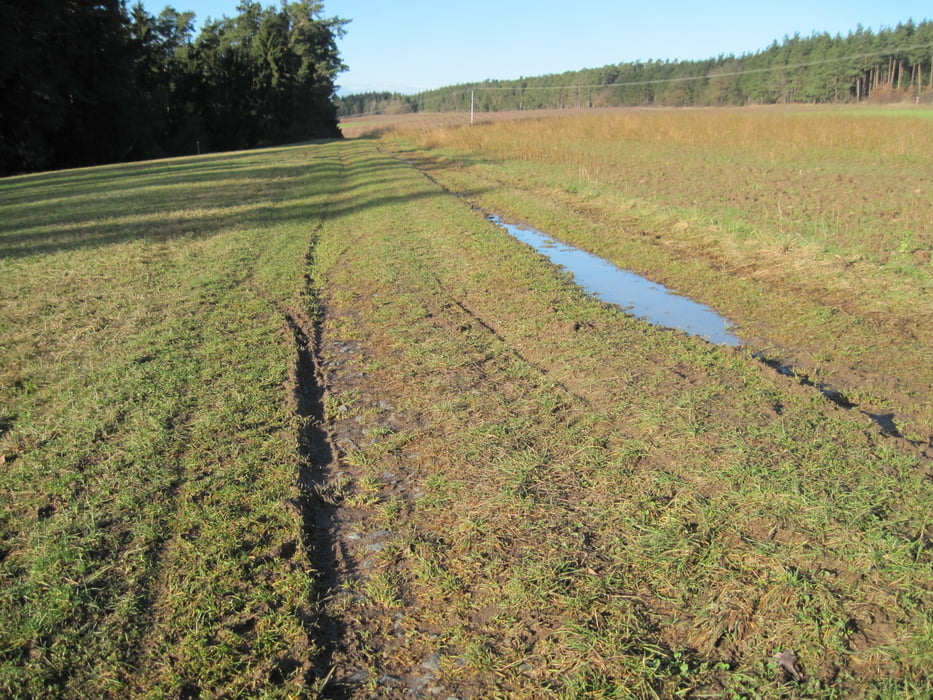
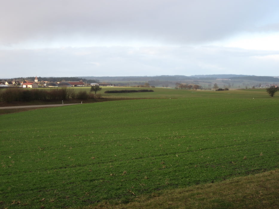
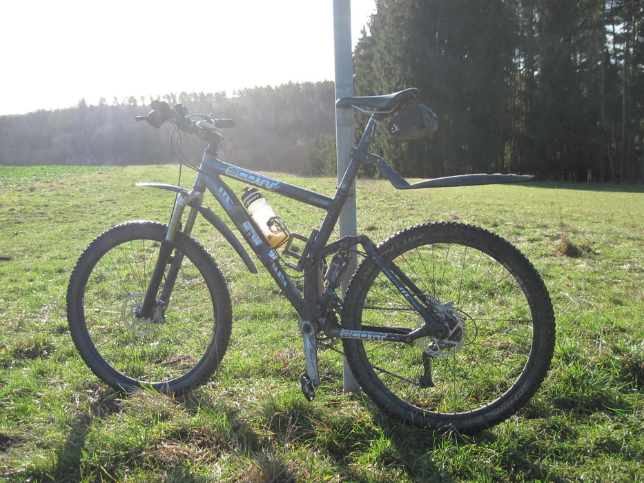
Tour gallery

Tour map and elevation profile

  • Open Street Map
  • Google
Minimum height 406 m Maximum height 525 m Detailed view

More about the tour author

Frankenhoehe
Member since 2009

Send private message

Comments

basch on 13.05.2019

Lob

Schöne Tour, danke!
3h sind allerdings etwas übertrieben denke ich...
Sehr schön matschig als wir gefahren sind !

GPS tracks

Trackpoints
  • GPX / Garmin Map Source (gpx) download
  • TCX / Garmin Training Center® (tcx) download
  • CRS / Garmin Training Center® (crs) download
  • Google Earth (kml) download
  • G7ToWin (g7t) download
  • TTQV (trk) download
  • Overlay (ovl) download
  • Fugawi (txt) download
  • Kompass (DAV) Track (tk) download
  • Track data sheet (pdf) download
  • Original file of the author (gpx) download

More about the tour author

Frankenhoehe
Member since 2009

Send private message
Share track
Add to my favorites
Remove from my favorites
Edit tags
My score
Rate
Track: Ansbach - Auerbach
Type: Mountain bike
Distance: 40,2 km
Evaluated on:
Duration:
Day(s)
Hour(s)
Minute(s)
Score: Landscape Fun factor Fitness Technique