Login

Forgot your login?

Cookies have to be accepted!
Your browser's cookie functionality is disabled. Please enable this functionality.

Not a member yet?

Register now
Login

Available for registred users only

Log in to use this feature.

Forgot your login?

Cookies have to be accepted!
Your browser's cookie functionality is disabled. Please enable this functionality.

Not a member yet?

Register now
Filter
Categories
Advanced filters
  • Distance (km)
  • Height
Save filters Reset filter

TrackRank

QRCode

Technical data

Distance20,2 km Height670 m Way down641 m Duration02:45 h:m Date15.05.2011
Scores Author Landscape Fun factor Fitness Technique

Statistics

2356 Views 1 Score 688 Downloads 4.00 Average
Rate
  • Track data sheet
  • Directions
  • Downloads

Angelehnt an die Tour #58689

Anfahrt von Garda mit schönen Blicken auf den Gardasee.

Aufstieg anfangs auf wenig befahrenen befestigten Straßen, dann ab Castion Veronese etwas stärker befahren.

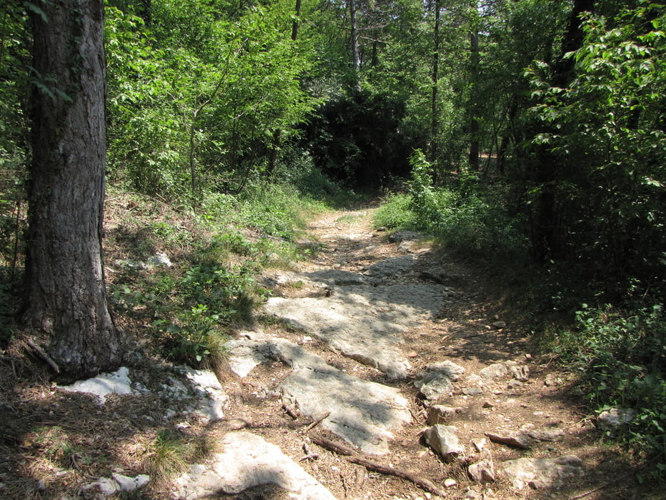
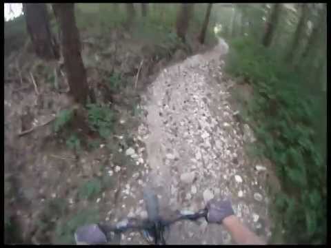
Das alte Canevoi bekommt man zwar nicht zu sehen, dafür aber etwas mehr Trail

Tour gallery

Tour map and elevation profile

  • Open Street Map
  • Google
Minimum height 76 m Maximum height 689 m Detailed view

More about the tour author

redsunrising
Member since 2004

Send private message

Comments

seppi on 09.06.2012

Auffahrt nur Teerstraße, aber super Trails

Ich bin die Tour 2012 gefahren. Die Auffahrt geht gleichmäßig leider nur auf Teerstraßen hoch bis San Zeno. Die Abfahrt hat´s allerdings in sich. Erst auf einem schmalen Singeltrail durch den Wald sehr gut fahrbar, dann kommt allerdings ein sehr steiles grobschottriges Stück (ca. 150 Hm) das ich schieben musste. Wer das alles fährt bitte Kommentar abgeben. Anschießend abwechselnd auf kurzen Teerstücken gespickt mit Trailpassagen sehr gut fahrbar bis nch Garda zurück. Im großen und ganzen eine super Tour, wenn nicht das lange Schiebestück bergab wäre.
redsunrising on 10.06.2012

Fahrbar?

Meinst du das Stück ab 3:50 min im Video?

GPS tracks

Trackpoints
  • GPX / Garmin Map Source (gpx) download
  • TCX / Garmin Training Center® (tcx) download
  • CRS / Garmin Training Center® (crs) download
  • Google Earth (kml) download
  • G7ToWin (g7t) download
  • TTQV (trk) download
  • Overlay (ovl) download
  • Fugawi (txt) download
  • Kompass (DAV) Track (tk) download
  • Track data sheet (pdf) download
  • Original file of the author (gpx) download

More about the tour author

redsunrising
Member since 2004

Send private message
Share track
Add to my favorites
Remove from my favorites
Edit tags
My score
Rate
Track: Garda - San Zeno - (Trail) - Pizzon Garda
Type: Mountain bike
Distance: 20,2 km
Evaluated on:
Duration:
Day(s)
Hour(s)
Minute(s)
Score: Landscape Fun factor Fitness Technique