


This is a hiking-track in the area of Kato Zakros (Eastern End of Crete).
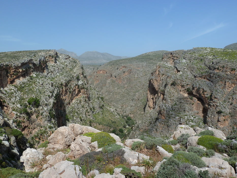
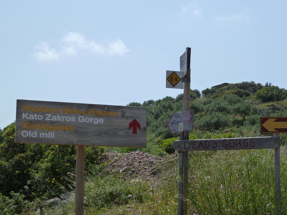
It is an alternative round-trip through the famous Gorge of Dead, entering the gorge by a path coming from Zakros and passing a nice panorama viewpoint on the old road from Zakros to Kato Zakros. Down in the gorge the walk also leads past the remains of the rarely visited Minoan settlement of Lenika and a climbing-detour to a Minoan Fort (Kastelas).
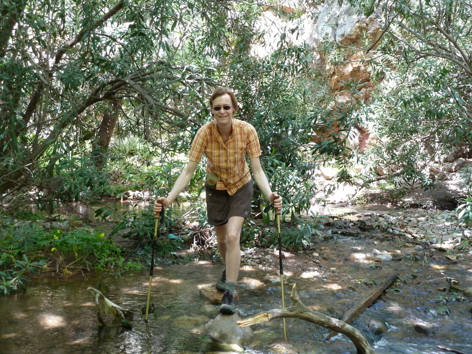
The walk begins at the mouth of the gorge at Kato Zakros and follows the old dirt road up. This first part is not waymarked, but you cannot miss the track. In early springtime the Zakros river in the gorge may force you to remove your shoes once or twice to get through, but all in all the tour is a fairly easy walk.
Take a good amount of water with you, because there is virtually no shadow on the way.
Further information at
http://www.stelapts.com/Tour gallery
Tour map and elevation profile
Minimum height -7 m
Maximum height 195 m
More about the tour author
|
|
Kretakulk |
Comments

Drive down to Kato Zakros and continue past the Taverns at the beach and follow the sign towards the archeological site of Kato Zakros. Drive past the Minoan palace to the mouth of the Gorge of Dead (at the right side). This is the beginning of the track.
GPS tracks
Trackpoints-
GPX / Garmin Map Source (gpx) download
-
TCX / Garmin Training Center® (tcx) download
-
CRS / Garmin Training Center® (crs) download
-
Google Earth (kml) download
-
G7ToWin (g7t) download
-
TTQV (trk) download
-
Overlay (ovl) download
-
Fugawi (txt) download
-
Kompass (DAV) Track (tk) download
-
Track data sheet (pdf) download
-
Original file of the author (gpx) download
More about the tour author
|
|
Kretakulk |
Add to my favorites
Remove from my favorites
Edit tags
Open track
My score
Rate