


Die Wanderung beginnt beim Sportplatz von Orth und führt über Grund- und Tierboden zum Mühlschütt.
Ab km 4 waren alle Wege zugewachsen und wir konnten die geplante Tour nur durch das trockene Bett eine Altarms sowie den Schotterbänken der derzeit Niedrigwasser führenden Donau vortsetzen. Nach ca 750m gibt es wieder den alten Treppelweg. Weiter über das Große Wiesenfeld, den Heustadelböden und Steinfurt zum Ausgangspunkt.
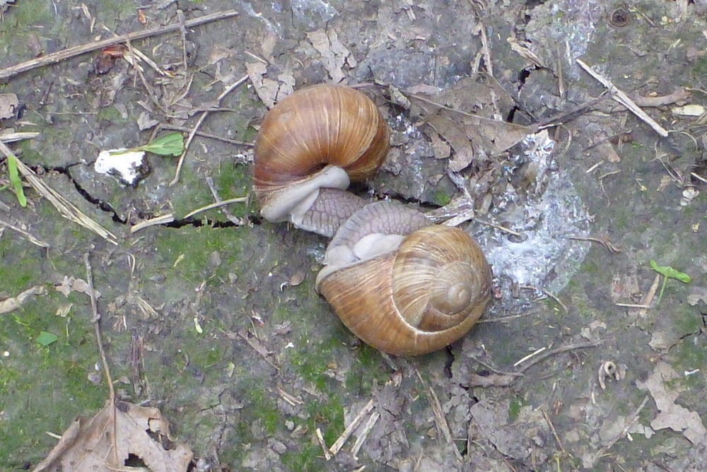
In dieser Art ist der Weg nur bei extremen Niedrigwasser zu begehen (Achtung! hüfthohe Brennesseln)
Alle Fotos sie Link
Further information at
https://skydrive.live.com/#cid=DFF63CE9C39979FE&id=DFF63CE9C39979FE%212781Tour gallery


Tour map and elevation profile
Minimum height 145 m
Maximum height 163 m
More about the tour author

|
Herbiy |
Comments

GPS tracks
Trackpoints-
GPX / Garmin Map Source (gpx) download
-
TCX / Garmin Training Center® (tcx) download
-
CRS / Garmin Training Center® (crs) download
-
Google Earth (kml) download
-
G7ToWin (g7t) download
-
TTQV (trk) download
-
Overlay (ovl) download
-
Fugawi (txt) download
-
Kompass (DAV) Track (tk) download
-
Track data sheet (pdf) download
-
Original file of the author (gpx) download
More about the tour author
|
|
Herbiy |
Add to my favorites
Remove from my favorites
Edit tags
Open track
My score
Rate