


Start an der Bäckerei Geldreich in Oberkirch
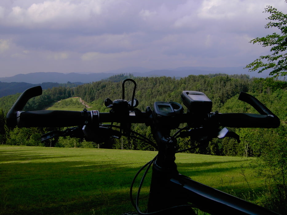
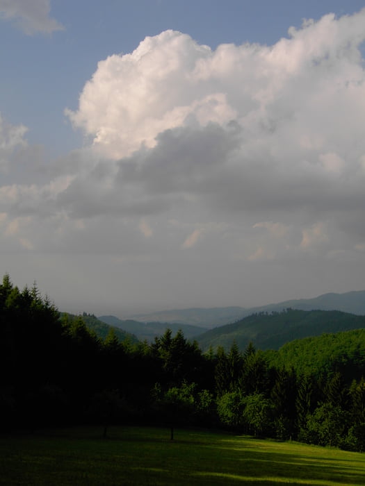
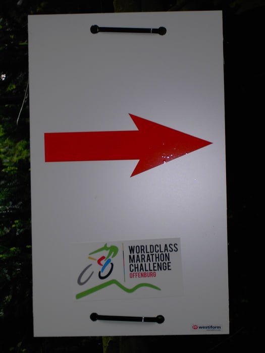
Oberkirch auf dem Radweg bis Ramsbach dann weiter zur Kalikutt (Fahrstrasse) dort weiter dem Weg folgen bis zur Ofenlochhütte.(Herrlicher Blick aufs Renchtal).Weiterfahrt über den Kandelhöhenweg Teilstrecke der WC MTB Strecke Offenburg weiter folgend bis zum Abzweig wieder nach Oberkirch zum Ausgangspunkt der Tour.
Viel Spass beim Nachfahren !!!
Further information at
http://www.oberkirch.deTour gallery
Tour map and elevation profile
Minimum height 189 m
Maximum height 599 m
More about the tour author
|
|
ambaibiker |
Comments

GPS tracks
Trackpoints-
GPX / Garmin Map Source (gpx) download
-
TCX / Garmin Training Center® (tcx) download
-
CRS / Garmin Training Center® (crs) download
-
Google Earth (kml) download
-
G7ToWin (g7t) download
-
TTQV (trk) download
-
Overlay (ovl) download
-
Fugawi (txt) download
-
Kompass (DAV) Track (tk) download
-
Track data sheet (pdf) download
-
Original file of the author (gpx) download
More about the tour author
|
|
ambaibiker |
Add to my favorites
Remove from my favorites
Edit tags
Open track
My score
Rate