Login

Forgot your login?

Cookies have to be accepted!
Your browser's cookie functionality is disabled. Please enable this functionality.

Not a member yet?

Register now
Login

Available for registred users only

Log in to use this feature.

Forgot your login?

Cookies have to be accepted!
Your browser's cookie functionality is disabled. Please enable this functionality.

Not a member yet?

Register now
Filter
Categories
Advanced filters
  • Distance (km)
  • Height
Save filters Reset filter

TrackRank

QRCode

Technical data

Distance1.403,8 km Height9899 m Way down9774 m Duration00:00 h:m Date16.05.2011
Scores Author Landscape Fun factor Fitness Technique

Statistics

821 Views Scores 20 Downloads Average
Rate
  • Track data sheet
  • Directions
  • Downloads
Hier auf Karte für den Lieben Gunter

Tour gallery

Tour map and elevation profile

  • Open Street Map
  • Google
Minimum height -139 m Maximum height 465 m Detailed view

More about the tour author

90er
Member since 2008

Send private message

Comments

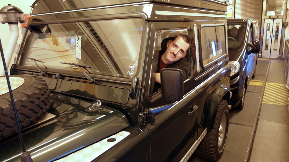
Durch den Tunnel unterm Ärmelkanal.

GPS tracks

Trackpoints
  • GPX / Garmin Map Source (gpx) download
  • TCX / Garmin Training Center® (tcx) download
  • CRS / Garmin Training Center® (crs) download
  • Google Earth (kml) download
  • G7ToWin (g7t) download
  • TTQV (trk) download
  • Overlay (ovl) download
  • Fugawi (txt) download
  • Kompass (DAV) Track (tk) download
  • Track data sheet (pdf) download
  • Original file of the author (gpx) download

More about the tour author

90er
Member since 2008

Send private message
Share track
Add to my favorites
Remove from my favorites
Edit tags
My score
Rate
Track: Für Gunter England 2011
Type: ATV Quads
Distance: 1.403,8 km
Evaluated on:
Duration:
Day(s)
Hour(s)
Minute(s)
Score: Landscape Fun factor Fitness Technique