


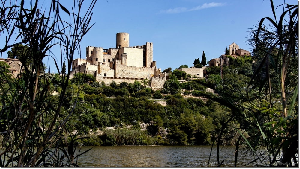
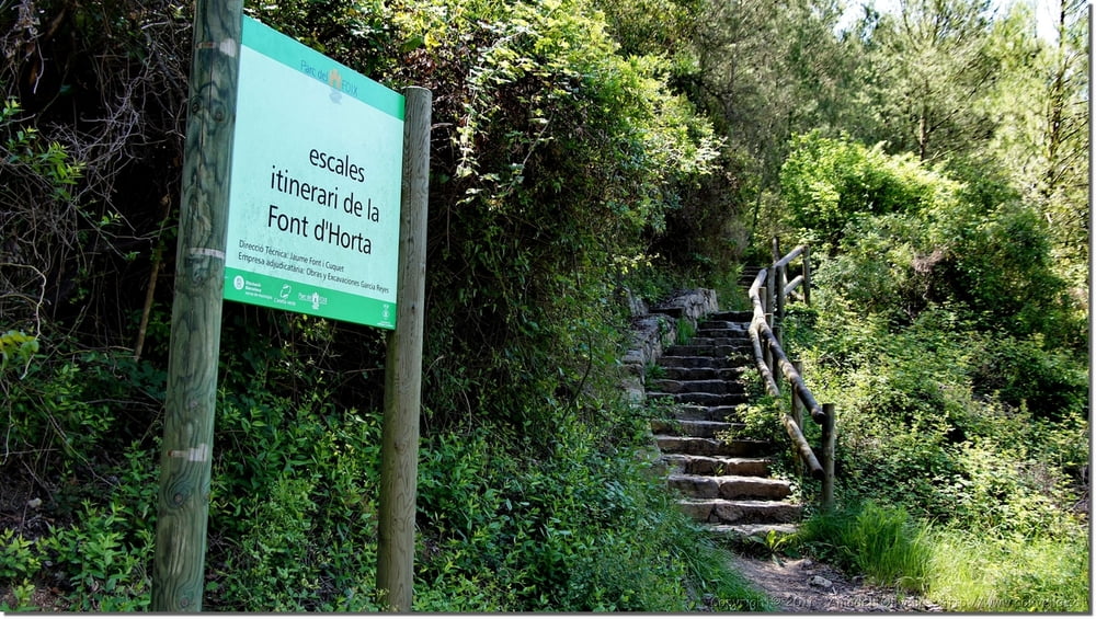
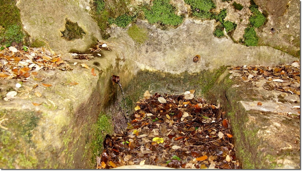
Excursió itinerari de la font d'Horta
Masia de la Creu - cal Bladet - font d'Horta - Parc del Foix - Alt Penedès - 14 de maig de 2011
Masia de la Creu - cal Bladet - font d'Horta - Parc del Foix - Alt Penedès - 14 de maig de 2011
Further information at
http://www.aolivella.cat/Muntanya/Primavera/Foix_2011/index.htmlTour gallery

Tour map and elevation profile
Minimum height 93 m
Maximum height 238 m
More about the tour author
|
|
amadeu |
Comments

GPS tracks
Trackpoints-
GPX / Garmin Map Source (gpx) download
-
TCX / Garmin Training Center® (tcx) download
-
CRS / Garmin Training Center® (crs) download
-
Google Earth (kml) download
-
G7ToWin (g7t) download
-
TTQV (trk) download
-
Overlay (ovl) download
-
Fugawi (txt) download
-
Kompass (DAV) Track (tk) download
-
Track data sheet (pdf) download
-
Original file of the author (gpx) download
More about the tour author
|
|
amadeu |
Add to my favorites
Remove from my favorites
Edit tags
Open track
My score
Rate