


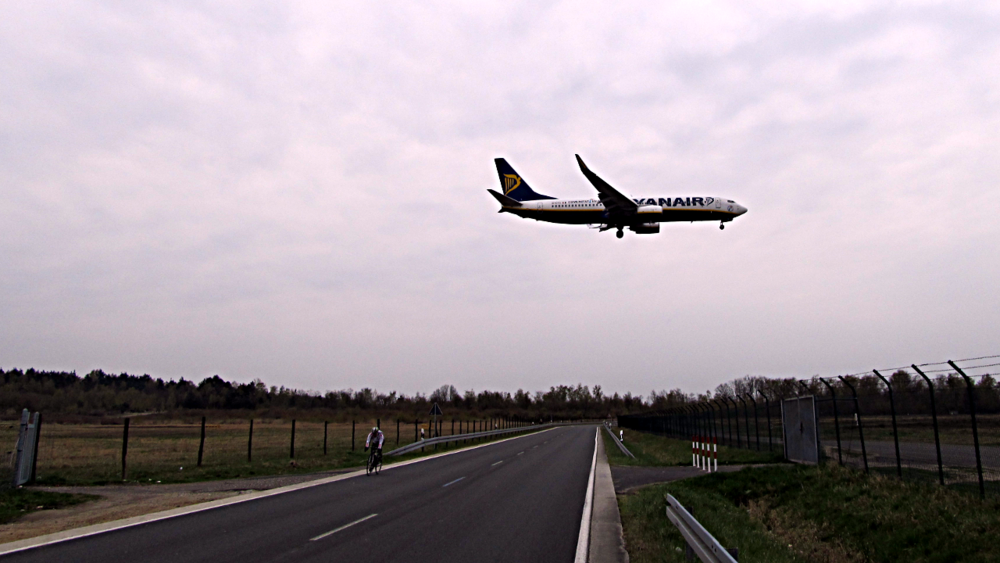
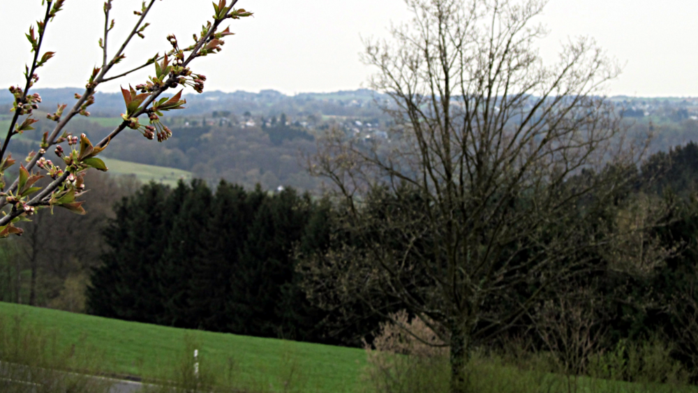
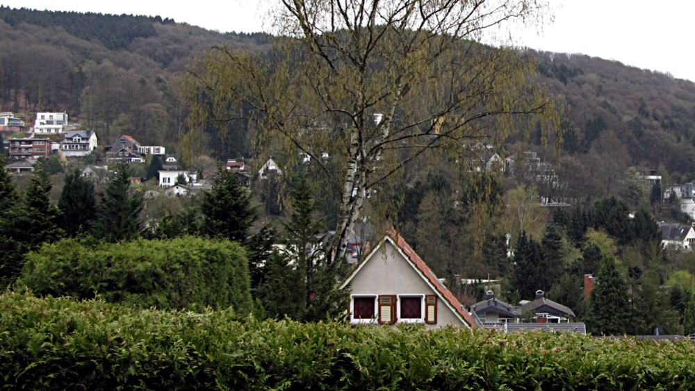
Diese Tor führt vom Gut Leidenhausen über die Alte Kölner Straße vorbei am Köln-Bonner Flughafen. Anschließend gibt es einige Höhenmeter zu bewältigen, wobei ihr durch einige Dörfer fahrt. Der letzte Teil der Strecke führt durch den Königsforst.
Further information at
http://de.wikipedia.org/wiki/Bergisches_Land#Oberbergisches_LandTour gallery

Tour map and elevation profile
Minimum height 58 m
Maximum height 212 m
More about the tour author
|
|
RonPabst |
Comments

Von Köln aus mit der S12 oder der Linie 7 nach Porz; von dort immer geradeaus bis zum Mauspfad.
Mit dem Auto kann man beim Gut Leidenhausen parken.
GPS tracks
Trackpoints-
GPX / Garmin Map Source (gpx) download
-
TCX / Garmin Training Center® (tcx) download
-
CRS / Garmin Training Center® (crs) download
-
Google Earth (kml) download
-
G7ToWin (g7t) download
-
TTQV (trk) download
-
Overlay (ovl) download
-
Fugawi (txt) download
-
Kompass (DAV) Track (tk) download
-
Track data sheet (pdf) download
-
Original file of the author (gpx) download
More about the tour author
|
|
RonPabst |
Add to my favorites
Remove from my favorites
Edit tags
Open track
My score
Rate