


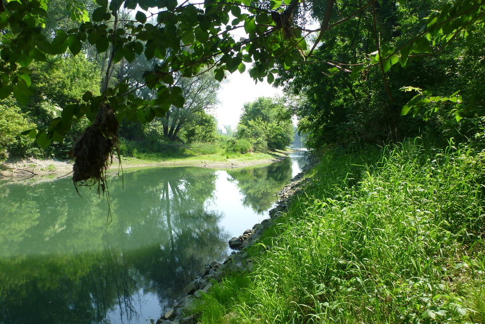
Ein ziemlich kurioser Einstig für einen Nationalpark, zwischen Flughafen, ÖMV und Kläranlage. :-)
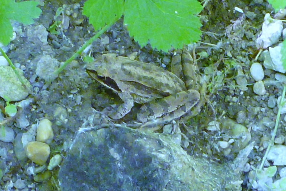
Der Flora und Fauna hat es allerdings nicht geschadet. Einen Rundweg haben wir nicht gefunden, das Stück das fehlt ist leider zu stark verwachsen. Beützt man nach ca 4,6km den Treppelweg der auf einen Stichdamm verläuft geht es sich fast aus (nur bei Niedrigwasser). Mann kann die Runde auch bis zum "Rostigen Anker verlängern, dann sind es allerdings mind. 18km.
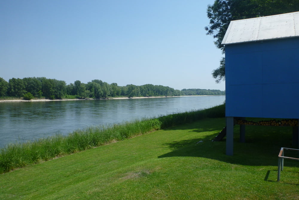
Der Rückweg verläuft direkt neben der Autobahn, man sieht sie zwar nicht, im dichten Wald, allerdings der Geräuschpegel ist ziemlich hoch.
Restliche Fotos siehe LINK
Further information at
https://skydrive.live.com/#cid=DFF63CE9C39979FE&id=DFF63CE9C39979FE%212806Tour gallery

Tour map and elevation profile
Minimum height 147 m
Maximum height 168 m
More about the tour author

|
Herbiy |
Comments

GPS tracks
Trackpoints-
GPX / Garmin Map Source (gpx) download
-
TCX / Garmin Training Center® (tcx) download
-
CRS / Garmin Training Center® (crs) download
-
Google Earth (kml) download
-
G7ToWin (g7t) download
-
TTQV (trk) download
-
Overlay (ovl) download
-
Fugawi (txt) download
-
Kompass (DAV) Track (tk) download
-
Track data sheet (pdf) download
-
Original file of the author (gpx) download
More about the tour author
|
|
Herbiy |
Add to my favorites
Remove from my favorites
Edit tags
Open track
My score
Rate