Login

Forgot your login?

Cookies have to be accepted!
Your browser's cookie functionality is disabled. Please enable this functionality.

Not a member yet?

Register now
Login

Available for registred users only

Log in to use this feature.

Forgot your login?

Cookies have to be accepted!
Your browser's cookie functionality is disabled. Please enable this functionality.

Not a member yet?

Register now
Filter
Categories
Advanced filters
  • Distance (km)
  • Height
Save filters Reset filter

TrackRank

QRCode

Technical data

Distance32,2 km Height786 m Way down832 m Duration02:00 h:m Date23.05.2011
Scores Author User Landscape Fun factor Fitness Technique

Statistics

706 Views 2 Scores 117 Downloads 3.50 Average
Rate
  • Track data sheet
  • Directions
  • Downloads

Mal ein anderer Weg auf die Gis.

Optimaler Ausgangspunkt ist der Linzer Hauptplatz.

Sehr anspruchsvolle Auffahrt.

Am Anfang der Steigung den linken sehr steilen Wanderweg fahren.

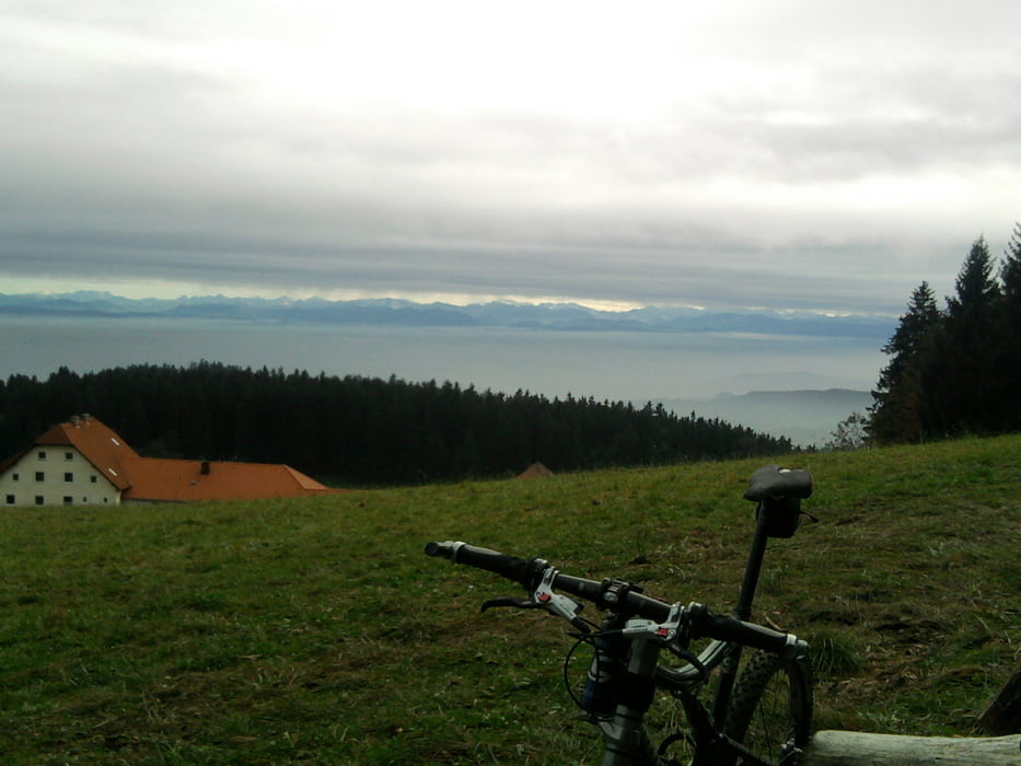
Die Abfahrt durch den Schmidgraben ist immer ein Highlight.

Tour map and elevation profile

  • Open Street Map
  • Google
Minimum height 208 m Maximum height 740 m Detailed view

More about the tour author

Fred
Member since 2006

Send private message

Comments

GPS tracks

Trackpoints
  • GPX / Garmin Map Source (gpx) download
  • TCX / Garmin Training Center® (tcx) download
  • CRS / Garmin Training Center® (crs) download
  • Google Earth (kml) download
  • G7ToWin (g7t) download
  • TTQV (trk) download
  • Overlay (ovl) download
  • Fugawi (txt) download
  • Kompass (DAV) Track (tk) download
  • Track data sheet (pdf) download
  • Original file of the author (gpx) download

More about the tour author

Fred
Member since 2006

Send private message
Share track
Add to my favorites
Remove from my favorites
Edit tags
My score
Rate
Track: Gis über Koglerau
Type: Mountain bike
Distance: 32,2 km
Evaluated on:
Duration:
Day(s)
Hour(s)
Minute(s)
Score: Landscape Fun factor Fitness Technique