Login

Forgot your login?

Cookies have to be accepted!
Your browser's cookie functionality is disabled. Please enable this functionality.

Not a member yet?

Register now
Login

Available for registred users only

Log in to use this feature.

Forgot your login?

Cookies have to be accepted!
Your browser's cookie functionality is disabled. Please enable this functionality.

Not a member yet?

Register now
Filter
Categories
Advanced filters
  • Distance (km)
  • Height
Save filters Reset filter

TrackRank

QRCode

Technical data

Distance38,6 km Height1095 m Way down1066 m Duration00:00 h:m Date24.05.2011
Scores Author Landscape Fun factor Fitness Technique

Statistics

179 Views 1 Score 43 Downloads 1.00 Average
Rate
  • Track data sheet
  • Directions
  • Downloads

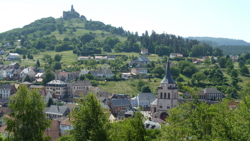
Départ du village Dabo
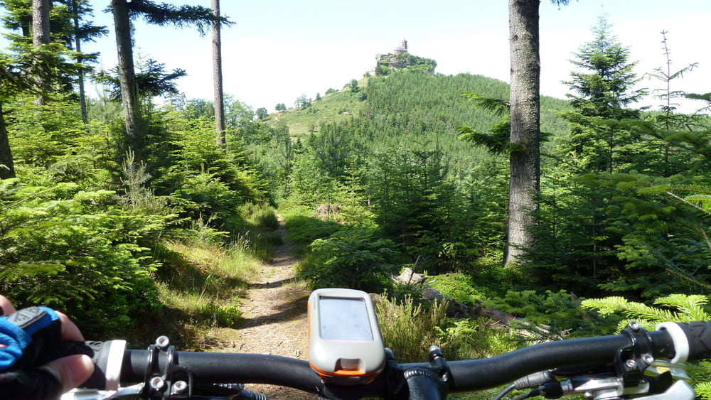
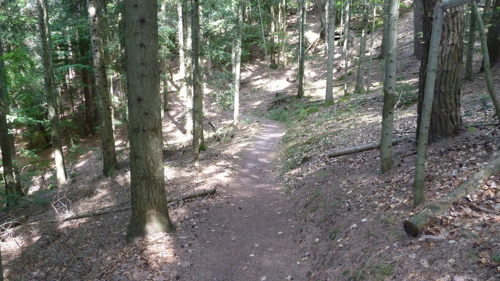
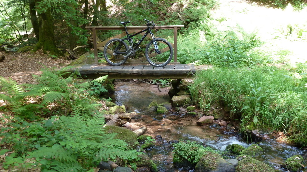
 

Tour gallery

Tour map and elevation profile

  • Open Street Map
  • Google
Minimum height 250 m Maximum height 645 m Detailed view

More about the tour author

nicofisch
Member since 2009

Send private message

Comments

Les 5 derniers kilomètres se passent sur la route.

GPS tracks

Trackpoints
  • GPX / Garmin Map Source (gpx) download
  • TCX / Garmin Training Center® (tcx) download
  • CRS / Garmin Training Center® (crs) download
  • Google Earth (kml) download
  • G7ToWin (g7t) download
  • TTQV (trk) download
  • Overlay (ovl) download
  • Fugawi (txt) download
  • Kompass (DAV) Track (tk) download
  • Track data sheet (pdf) download
  • Original file of the author (gpx) download

More about the tour author

nicofisch
Member since 2009

Send private message
Share track
Add to my favorites
Remove from my favorites
Edit tags
My score
Rate
Track: Autour du Dabo
Type: Mountain bike
Distance: 38,6 km
Evaluated on:
Duration:
Day(s)
Hour(s)
Minute(s)
Score: Landscape Fun factor Fitness Technique