
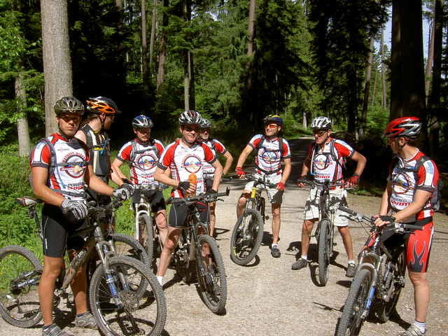

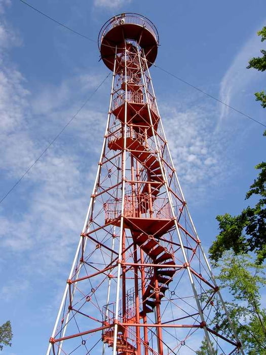
Start von Niefern nach Pforzheim der Enz entlang, nach Sonnenberg, Waldrennach über Engelsbrand zur Büchenbronnerhöhe und dann auf den Aussichtturm. Weiter Richtung Engelsbrand auf Trails ins Nagoldtal entlang zurück über Dillweisenstein. Weiter im Enztal nach Pforzheim und zurück nach Niefern.
Further information at
http://www.biketreff-niefern.deTour gallery
Tour map and elevation profile
Minimum height 232 m
Maximum height 661 m
More about the tour author

|
winklem |
Comments

Start in Niefern an der Enz Apotheke.
Mehr Infos unter http://www.biketreff-niefern.de
Mehr Infos unter http://www.biketreff-niefern.de
GPS tracks
Trackpoints-
GPX / Garmin Map Source (gpx) download
-
TCX / Garmin Training Center® (tcx) download
-
CRS / Garmin Training Center® (crs) download
-
Google Earth (kml) download
-
G7ToWin (g7t) download
-
TTQV (trk) download
-
Overlay (ovl) download
-
Fugawi (txt) download
-
Kompass (DAV) Track (tk) download
-
Track data sheet (pdf) download
-
Original file of the author (g7t) download
More about the tour author
|
|
winklem |
Add to my favorites
Remove from my favorites
Edit tags
Open track
My score
Rate