Login

Forgot your login?

Cookies have to be accepted!
Your browser's cookie functionality is disabled. Please enable this functionality.

Not a member yet?

Register now
Login

Available for registred users only

Log in to use this feature.

Forgot your login?

Cookies have to be accepted!
Your browser's cookie functionality is disabled. Please enable this functionality.

Not a member yet?

Register now
Filter
Categories
Advanced filters
  • Distance (km)
  • Height
Save filters Reset filter

TrackRank

QRCode

Technical data

Distance86,6 km Height1986 m Way down1967 m Duration03:33 h:m Date26.05.2011
Scores Author Landscape Fun factor Fitness Technique

Statistics

380 Views Scores 49 Downloads Average
Rate
  • Track data sheet
  • Directions
  • Downloads
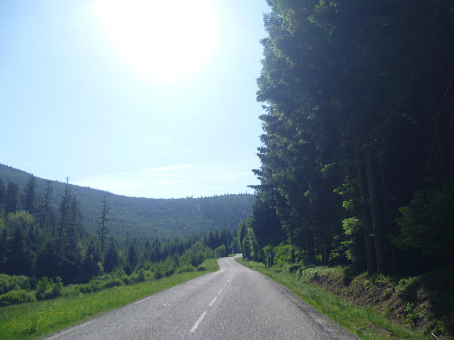
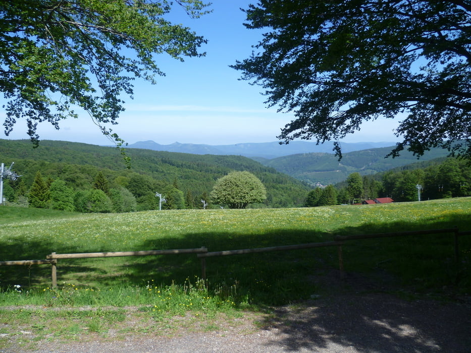
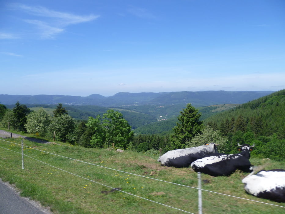
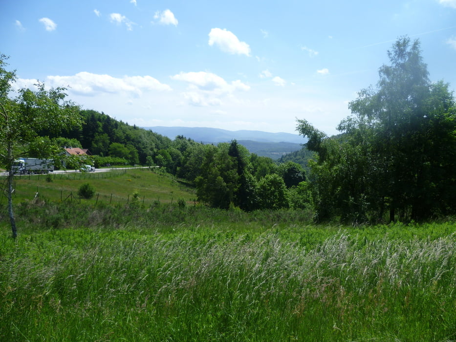
Landschaftliche tolle Tour mit einigen aber nie zu steilen Anstiegen ( der längste über 16 km und 810 hm ) . Bis auf die Auf- und Abfahrt vom Col du Hantz auch sehr verkehrsarm vor allem hinauf auf den Col du Praye wird man kaum einem Auto begegnen.

Tour gallery

Tour map and elevation profile

  • Open Street Map
  • Google
Minimum height 312 m Maximum height 1079 m Detailed view

More about the tour author

Wuestenelch
Member since 2009

Send private message

Comments

GPS tracks

Trackpoints
  • GPX / Garmin Map Source (gpx) download
  • TCX / Garmin Training Center® (tcx) download
  • CRS / Garmin Training Center® (crs) download
  • Google Earth (kml) download
  • G7ToWin (g7t) download
  • TTQV (trk) download
  • Overlay (ovl) download
  • Fugawi (txt) download
  • Kompass (DAV) Track (tk) download
  • Track data sheet (pdf) download
  • Original file of the author (gpx) download

More about the tour author

Wuestenelch
Member since 2009

Send private message
Share track
Add to my favorites
Remove from my favorites
Edit tags
My score
Rate
Track: Über Donon und Champs du Feu
Type: Road biking
Distance: 86,6 km
Evaluated on:
Duration:
Day(s)
Hour(s)
Minute(s)
Score: Landscape Fun factor Fitness Technique