Login

Forgot your login?

Cookies have to be accepted!
Your browser's cookie functionality is disabled. Please enable this functionality.

Not a member yet?

Register now
Login

Available for registred users only

Log in to use this feature.

Forgot your login?

Cookies have to be accepted!
Your browser's cookie functionality is disabled. Please enable this functionality.

Not a member yet?

Register now
Filter
Categories
Advanced filters
  • Distance (km)
  • Height
Save filters Reset filter

TrackRank

QRCode

Technical data

Distance32,8 km Height890 m Way down2041 m Duration00:00 h:m Date26.05.2011
Scores Author User Landscape Fun factor Fitness Technique

Statistics

1976 Views 2 Scores 385 Downloads 3.00 Average
Rate
  • Track data sheet
  • Directions
  • Downloads

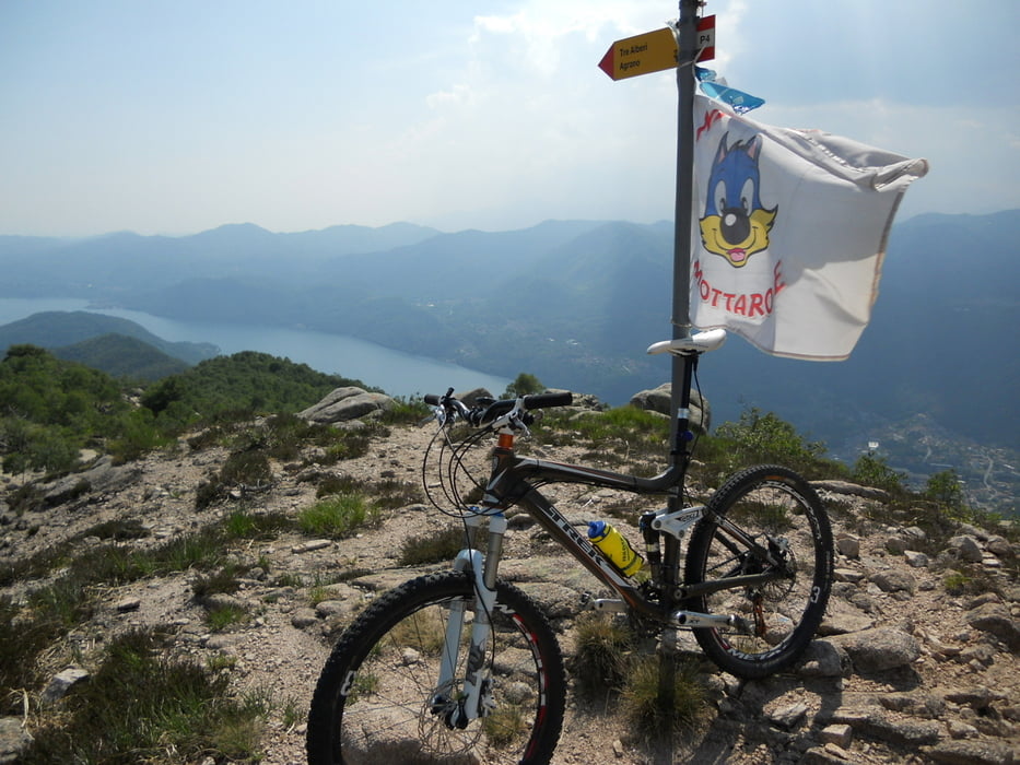
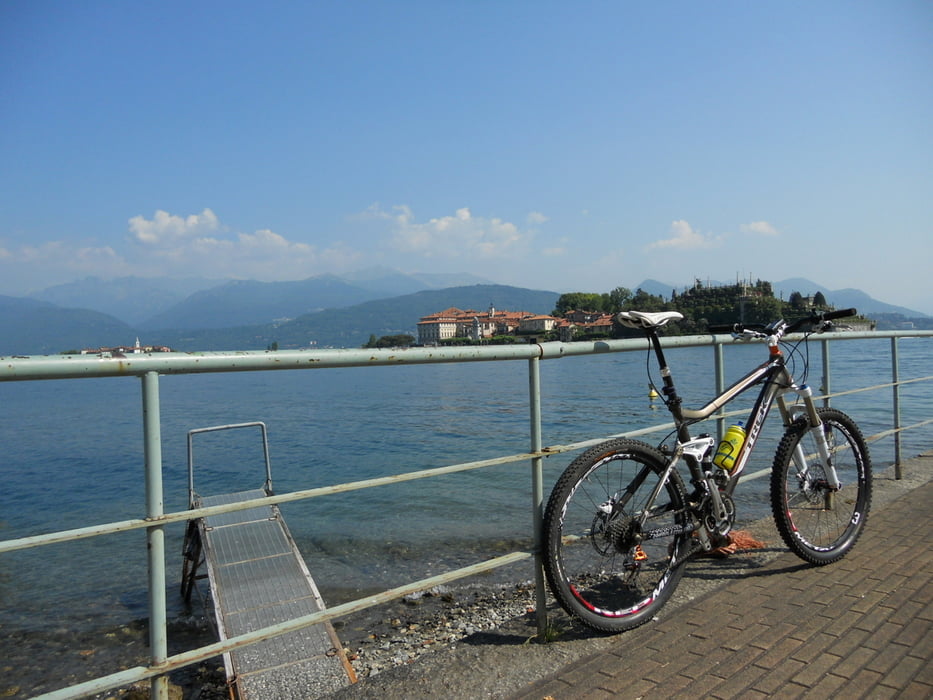
La partenza è dal piazzale della funivia a Stresa con le bici...

si sale fino alla vetta con la funivia e dal piazzale di arrivo si sale fino alle antenne e da lì...si parteee!!!!!


Tour gallery

Tour map and elevation profile

  • Open Street Map
  • Google
Minimum height 222 m Maximum height 1432 m Detailed view

More about the tour author

Danielsan
Member since 2010

Send private message

Comments

Airbusdriver on 15.06.2012

3 abeti

Chi ha postato questo giro non ha forse ritenuto opportuno specificare che la seconda parte del giro e cioè dalla quota di 700mt fino praticamente alla cima del Mottarone, non è pedalabile. Le foto che vedete dell'autore non sono "passaggi" ma è un'intera salita con un dislivello di 700mt da fare con la bici in spalla.

Io ho effettuato questo giro oggi e non mi sento di consigliarlo proprio per la sua parziale ciclabilità nonsotante alcuni scorci del Lago Maggiore e Orta siano pregevoli.

Saluti e grazie,
Carlo

Jajaballard on 16.09.2016

Did it 16 Sept. 2016

We droved the circle the other way around, but the first Downhill was very technical. Big Blocks in the trail. For us no fun.
The climb back to the road was very much damaged by the lumberjacks.

GPS tracks

Trackpoints
  • GPX / Garmin Map Source (gpx) download
  • TCX / Garmin Training Center® (tcx) download
  • CRS / Garmin Training Center® (crs) download
  • Google Earth (kml) download
  • G7ToWin (g7t) download
  • TTQV (trk) download
  • Overlay (ovl) download
  • Fugawi (txt) download
  • Kompass (DAV) Track (tk) download
  • Track data sheet (pdf) download
  • Original file of the author (gpx) download

More about the tour author

Danielsan
Member since 2010

Send private message
Share track
Add to my favorites
Remove from my favorites
Edit tags
My score
Rate
Track: Mottarone giro dei 3 abeti
Type: Mountain bike
Distance: 32,8 km
Evaluated on:
Duration:
Day(s)
Hour(s)
Minute(s)
Score: Landscape Fun factor Fitness Technique