


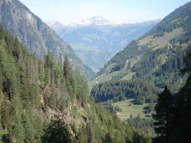
Ausgangspunkt der Tour
Salzachbrücke Uttendorf direkt am Tauernradweg
dann immer auf der Stubachtal Landesstraße
Richtung Enzingerboden.
bis Liftstation Weißseebahn.
Salzachbrücke Uttendorf direkt am Tauernradweg
dann immer auf der Stubachtal Landesstraße
Richtung Enzingerboden.
bis Liftstation Weißseebahn.
Further information at
http://www.uttendorf-info.at/Tour gallery
Tour map and elevation profile
Minimum height 777 m
Maximum height 1500 m
More about the tour author

|
siol |
Comments

GPS tracks
Trackpoints-
GPX / Garmin Map Source (gpx) download
-
TCX / Garmin Training Center® (tcx) download
-
CRS / Garmin Training Center® (crs) download
-
Google Earth (kml) download
-
G7ToWin (g7t) download
-
TTQV (trk) download
-
Overlay (ovl) download
-
Fugawi (txt) download
-
Kompass (DAV) Track (tk) download
-
Track data sheet (pdf) download
-
Original file of the author (gpx) download
More about the tour author
|
|
siol |
Add to my favorites
Remove from my favorites
Edit tags
Open track
My score
Rate