


Start Merseburg, weiter über Delitz a. Berge- Zscherben- Dölauer Heide- Heidebahnhof- Dölau.
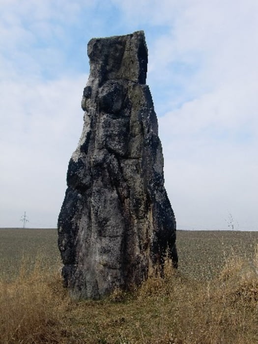
Nördlicher Ortsausgang Dölau nach osten ca. 200m Steinerne Jungfrau.
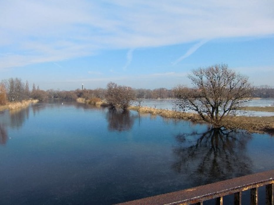
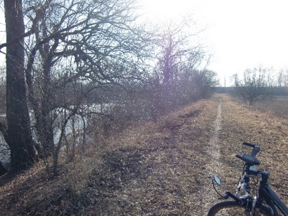
Zurück durch die Dölauer Heide zur Saale und auf dem Saaleradweg zurücjk nach Merseburg.
Nördlicher Ortsausgang Dölau nach osten ca. 200m Steinerne Jungfrau.
Zurück durch die Dölauer Heide zur Saale und auf dem Saaleradweg zurücjk nach Merseburg.
Further information at
http://www.mtb-news.de/forum/showpost.php?p=8053670&postcount=1428Tour gallery
Tour map and elevation profile
Minimum height -7 m
Maximum height 128 m
More about the tour author
|
|
Udo1 |
Comments

Mit DB kann jederzeit ab Halle Nietleben oder Halle Bahnhof zurück gefahren werden.
GPS tracks
Trackpoints-
GPX / Garmin Map Source (gpx) download
-
TCX / Garmin Training Center® (tcx) download
-
CRS / Garmin Training Center® (crs) download
-
Google Earth (kml) download
-
G7ToWin (g7t) download
-
TTQV (trk) download
-
Overlay (ovl) download
-
Fugawi (txt) download
-
Kompass (DAV) Track (tk) download
-
Track data sheet (pdf) download
-
Original file of the author (gpx) download
More about the tour author
|
|
Udo1 |
Add to my favorites
Remove from my favorites
Edit tags
Open track
My score
Rate