Login

Forgot your login?

Cookies have to be accepted!
Your browser's cookie functionality is disabled. Please enable this functionality.

Not a member yet?

Register now
Login

Available for registred users only

Log in to use this feature.

Forgot your login?

Cookies have to be accepted!
Your browser's cookie functionality is disabled. Please enable this functionality.

Not a member yet?

Register now
Filter
Categories
Advanced filters
  • Distance (km)
  • Height
Save filters Reset filter

TrackRank

QRCode

Technical data

Distance7,6 km Height133 m Way down56 m Duration02:00 h:m Date28.05.2011
Scores Author User Landscape Fun factor Fitness Technique

Statistics

662 Views 1 Score 31 Downloads 3.00 Average
Rate
  • Track data sheet
  • Directions
  • Downloads
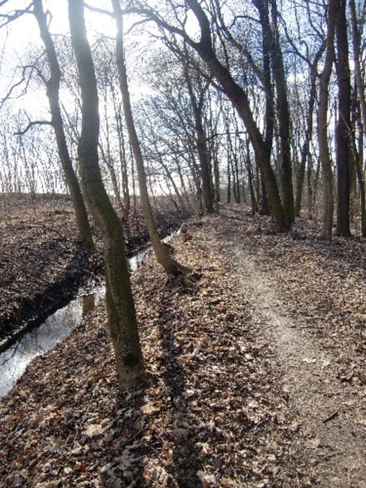
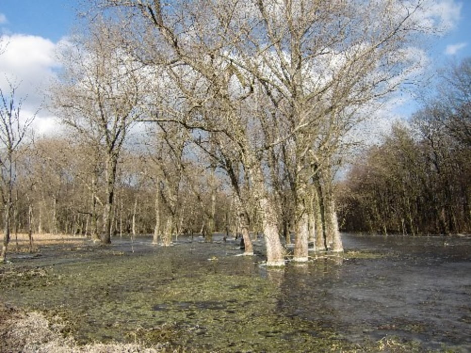
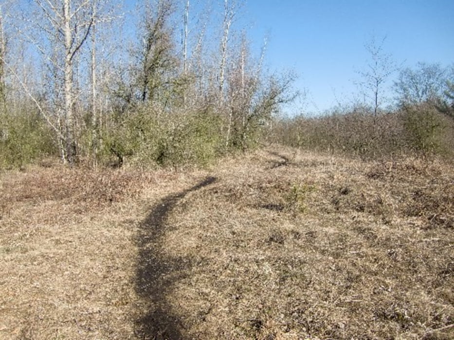
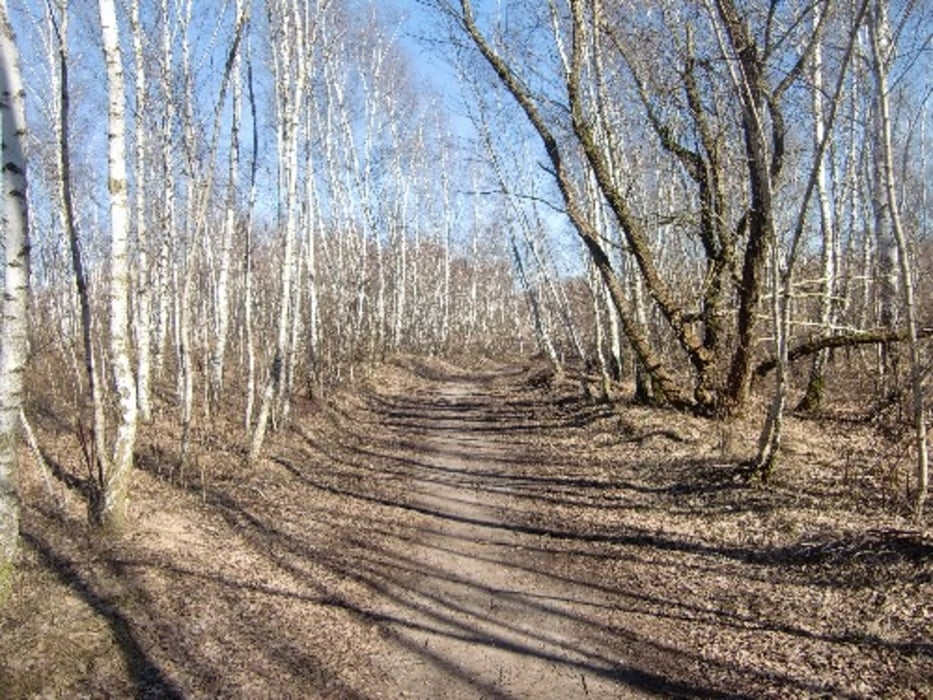
Rundkurs um den Osendorfer See mit Abstecher zum Schloss und Schlosspark Dieskau.
Der Weg führt teilweise auf den Gosewanderweg Halle-Leipzig.

Tour gallery

Tour map and elevation profile

  • Open Street Map
  • Google
Minimum height 3 m Maximum height 102 m Detailed view

More about the tour author

Udo1
Member since 2008

Send private message

Comments

Mit PKW bis Parkplatz Regattastrecke Osendorfer See

GPS tracks

Trackpoints
  • GPX / Garmin Map Source (gpx) download
  • TCX / Garmin Training Center® (tcx) download
  • CRS / Garmin Training Center® (crs) download
  • Google Earth (kml) download
  • G7ToWin (g7t) download
  • TTQV (trk) download
  • Overlay (ovl) download
  • Fugawi (txt) download
  • Kompass (DAV) Track (tk) download
  • Track data sheet (pdf) download
  • Original file of the author (gpx) download

More about the tour author

Udo1
Member since 2008

Send private message
Share track
Add to my favorites
Remove from my favorites
Edit tags
My score
Rate
Track: Osendorfer See
Type: Hiking
Distance: 7,6 km
Evaluated on:
Duration:
Day(s)
Hour(s)
Minute(s)
Score: Landscape Fun factor Fitness Technique