


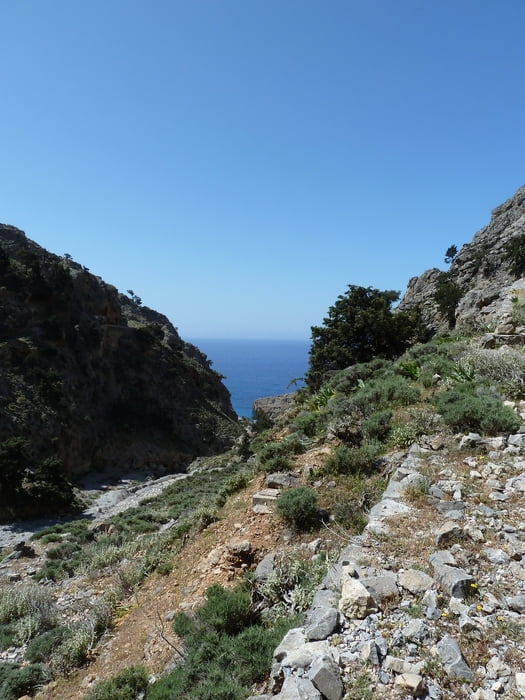
This hiking track is an alternative route from Hora Sfakion to Loutro, not following the E4 which runs along the coastline, but instead following a gorge (ravine) up to the plateau of Anopoli and then continuing down towards Loutro.
The track offers some really beautiful views, and in the gorge it runs partly along ancient kalderimi (muletracks made of cobblestone) which used to connect the Anopoli plateau to Hora Sfakion. However, parts of these tracks have been washed out, and especially one drop of about 20 meters is somewhat difficult to get past if you are afraid of heights. In addition, there are some boulders to climb in the gorge, but these parts can be overcome fairly easy.
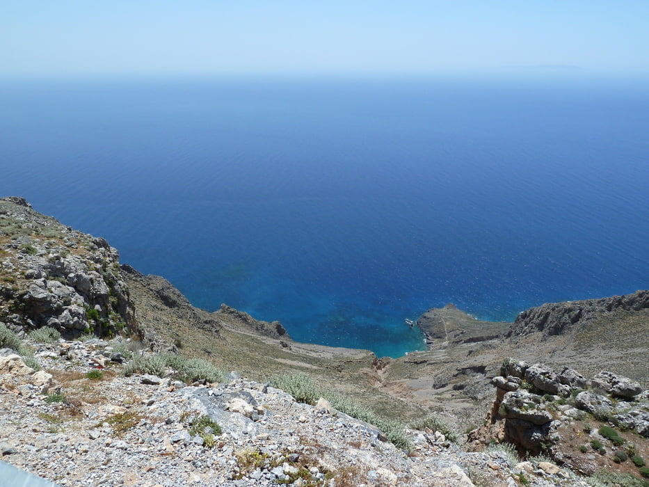
Shortly before reaching the plateau the track available here branches off the official path to follow the road for about 10 minutes in order to enjoy the great view, and the weary wanderer will find a small Kafenion direcly upon reaching the plateau where some refreshments can be taken before continuing towards Loutro.
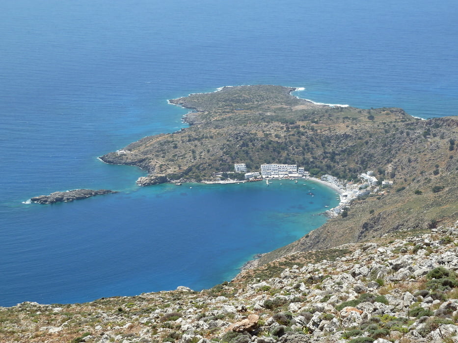
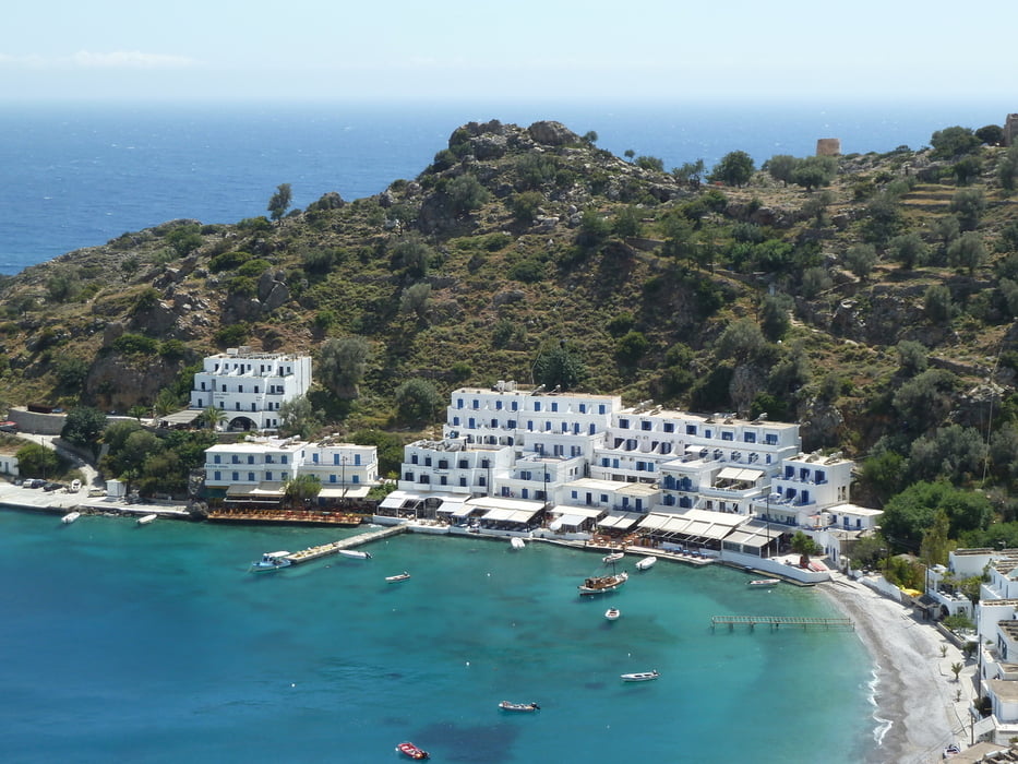
From Loutro the afternoon ferry can be taken back to Hora Sfakion, or you can also chose to follow the E4 which will lengthen the trip by approximately 2 or 3 hours.
Take a good amount of water with you, because there is virtually no shadow on the way.
Further information at
http://www.chora-sfakion.com/Tour gallery
Tour map and elevation profile
Minimum height 2 m
Maximum height 554 m
More about the tour author
|
|
Kretakulk |
Comments

The track begins in the center of Hora Sfakion. Free parking is available if you have come with a hired car.
GPS tracks
Trackpoints-
GPX / Garmin Map Source (gpx) download
-
TCX / Garmin Training Center® (tcx) download
-
CRS / Garmin Training Center® (crs) download
-
Google Earth (kml) download
-
G7ToWin (g7t) download
-
TTQV (trk) download
-
Overlay (ovl) download
-
Fugawi (txt) download
-
Kompass (DAV) Track (tk) download
-
Track data sheet (pdf) download
-
Original file of the author (gpx) download
More about the tour author
|
|
Kretakulk |
Add to my favorites
Remove from my favorites
Edit tags
Open track
My score
Rate