


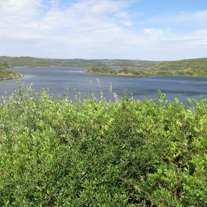
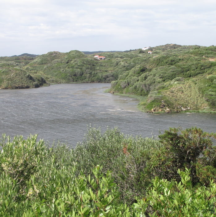
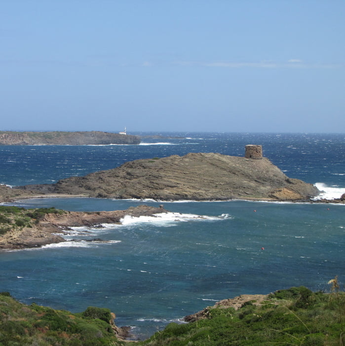
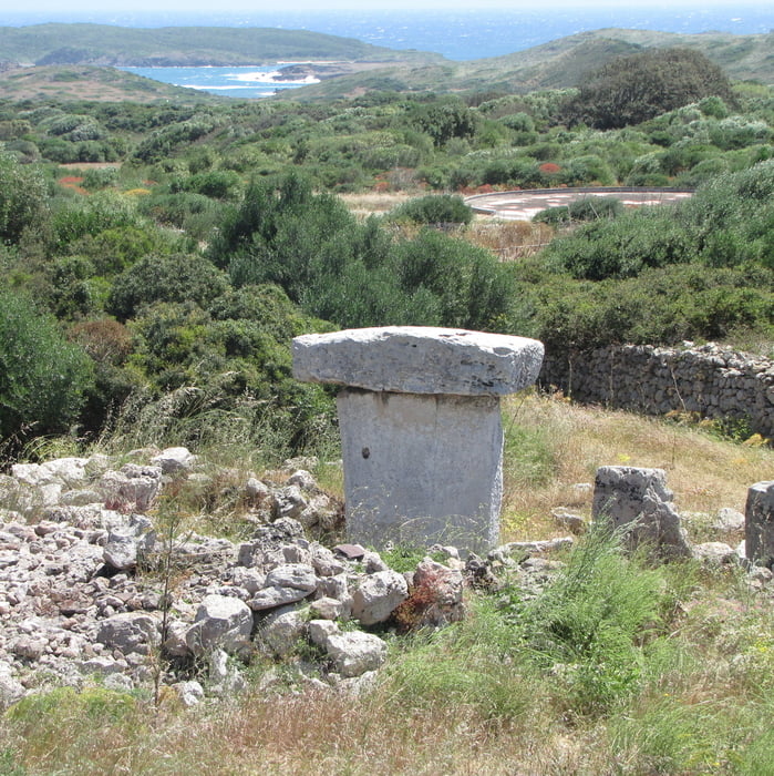
Vom Parkplatz geht man zunächst etwa 300 m auf der Hauptstrasse zum Eingang des Nationalparks zurück Falls gerade ein "Touri-Bus" angekommen ist, nicht abschrecken lassen, spätestens ab dem Strand von Es Grau ist man wieder alleine unterwegs. Man folgt dem blauen Weg Nr 3 zum Aussichtspunkt und dann weiter zum Strand von Es Grau. Dort folgt man dem historischen Pfad Cami des Cavall der Küste entlang zum Wachtturm Sa Torreta (im Hintergrund sieht man den Leuchtturm von Favaritx) und weiter zum Strand Cala de sa Torre und biegt dann auf dem Feldweg ins Landesinnere zur Taules Sa Torreta ab. Dann geht es auf Feldwegen zurück Richtung Meer und über den Strand von Es Grau zum Parkplatz.
Am Ende des Strandes kann man in der Bar Es Grau unter Tamarisken eine Abschluß-Rast einlegen.
Tour gallery
Tour map and elevation profile
Minimum height -15 m
Maximum height 66 m
More about the tour author
|
|
Lanzarottl |
Comments

Von Mao kommend folgt man zunächst der Me 7, biegt dann auf die Me 5 Richtung Es Grau ab, am Ortseingang von Es Grau gibt es einen großen Parkplatz
GPS tracks
Trackpoints-
GPX / Garmin Map Source (gpx) download
-
TCX / Garmin Training Center® (tcx) download
-
CRS / Garmin Training Center® (crs) download
-
Google Earth (kml) download
-
G7ToWin (g7t) download
-
TTQV (trk) download
-
Overlay (ovl) download
-
Fugawi (txt) download
-
Kompass (DAV) Track (tk) download
-
Track data sheet (pdf) download
-
Original file of the author (gpx) download
More about the tour author
|
|
Lanzarottl |
Add to my favorites
Remove from my favorites
Edit tags
Open track
My score
Rate