
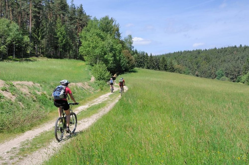

Landschaftlich sehr lohnenswerte, physisch herausfordernde Runde mit einigen fahrtechnisch anspruchsvollen Passagen. Zwei knackige Anstiege und lange, steile Abfahrten teils auf Trails, machen diese Runde zu einer lohnenswerten Halbtagstour. Die Asphaltkapelle in Etsdorf, das Magdalenental und die malerische Hocheben bei Witzlricht, auf der die Gesellschaft Bürgerwind zwei Windkraftwerke in exponierter Lage aufgestellt hat, machen die Tour auch abseits des Fahrtechnischen interessant.
Weitere Fotos zur Tour: plus.google.com/b/116210765488270908526/photos/116210765488270908526/albums/5678282345052009249
Tour map and elevation profile
Minimum height 387 m
Maximum height 631 m
More about the tour author
|
|
freizeit-as |
Comments

Mit dem Auto bis Paulsdorf, Gasthof Aschenbrenner
GPS tracks
Trackpoints-
GPX / Garmin Map Source (gpx) download
-
TCX / Garmin Training Center® (tcx) download
-
CRS / Garmin Training Center® (crs) download
-
Google Earth (kml) download
-
G7ToWin (g7t) download
-
TTQV (trk) download
-
Overlay (ovl) download
-
Fugawi (txt) download
-
Kompass (DAV) Track (tk) download
-
Track data sheet (pdf) download
-
Original file of the author (gpx) download
More about the tour author
|
|
freizeit-as |
Add to my favorites
Remove from my favorites
Edit tags
Open track
My score
Rate