


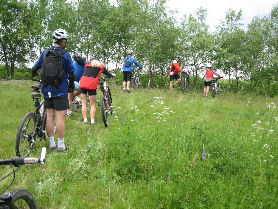
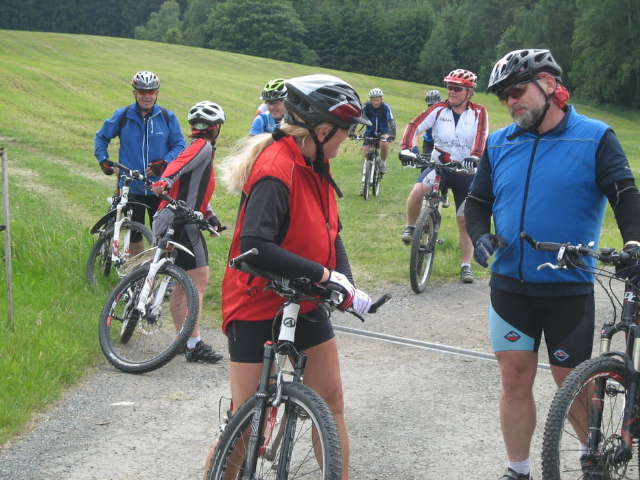
Die Radler von nakole.assko.cz. wollten um den Ascher Zipfel fahren, ich schloss mich ihnen an. Wir fuhren auf Waldwegen , Wanderwegen Trails und kleinen Grenzstraßen und schoben unsere Räder auch mal, wenn es nicht anders ging. Wir sahen Ziegen, Strauße, Hunde die vor uns davon liefen und Hunde die uns attackierten. Ein Ziel solle das „Wald Café" bei Bad Elster sein es ist Ca. 600m üNN, oberhalb des Bärenlohbachtals. Leider konnte ich mir dort kein Bier mehr schmecken lassen, denn mir lief mal wieder die Zeit davon, so bog wenige Meter zuvor in Richtung Hranice ab.
Tour gallery


Tour map and elevation profile
Minimum height 502 m
Maximum height 691 m
More about the tour author
|
|
Bernd-Ghostbiker |
Comments

Startpunkt ist Thiersheim. Anreise per PKW: aus Richtung Regensburg - Weiden A 93 in Richtung Berlin Ausfahrt Thiersheim aus Richtung Nürnberg - Bayreuth A 9 in Richtung Berlin Ausfahrt Bad Berneck und dann durch das Fichtelgebirge über Tröstau, Wunsiedel, Marktredwitz nach Thiersheim oder Ausfahrt Gefrees über Weißenstadt, Röslau, Bernstein nach Thiersheim
GPS tracks
Trackpoints-
GPX / Garmin Map Source (gpx) download
-
TCX / Garmin Training Center® (tcx) download
-
CRS / Garmin Training Center® (crs) download
-
Google Earth (kml) download
-
G7ToWin (g7t) download
-
TTQV (trk) download
-
Overlay (ovl) download
-
Fugawi (txt) download
-
Kompass (DAV) Track (tk) download
-
Track data sheet (pdf) download
-
Original file of the author (gpx) download
More about the tour author
|
|
Bernd-Ghostbiker |
Add to my favorites
Remove from my favorites
Edit tags
Open track
My score
Rate