Login

Forgot your login?

Cookies have to be accepted!
Your browser's cookie functionality is disabled. Please enable this functionality.

Not a member yet?

Register now
Login

Available for registred users only

Log in to use this feature.

Forgot your login?

Cookies have to be accepted!
Your browser's cookie functionality is disabled. Please enable this functionality.

Not a member yet?

Register now
Filter
Categories
Advanced filters
  • Distance (km)
  • Height
Save filters Reset filter

TrackRank

QRCode

Technical data

Distance26,8 km Height274 m Way down169 m Duration01:39 h:m Date30.05.2011
Scores Author Landscape Fun factor Fitness Technique

Statistics

182 Views Scores 22 Downloads Average
Rate
  • Track data sheet
  • Directions
  • Downloads

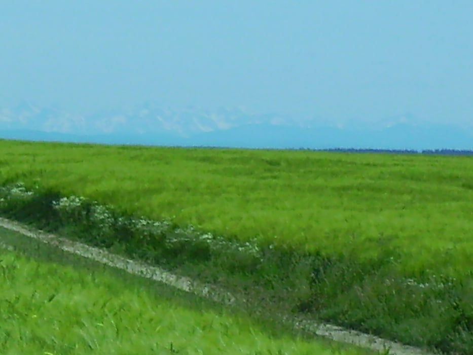
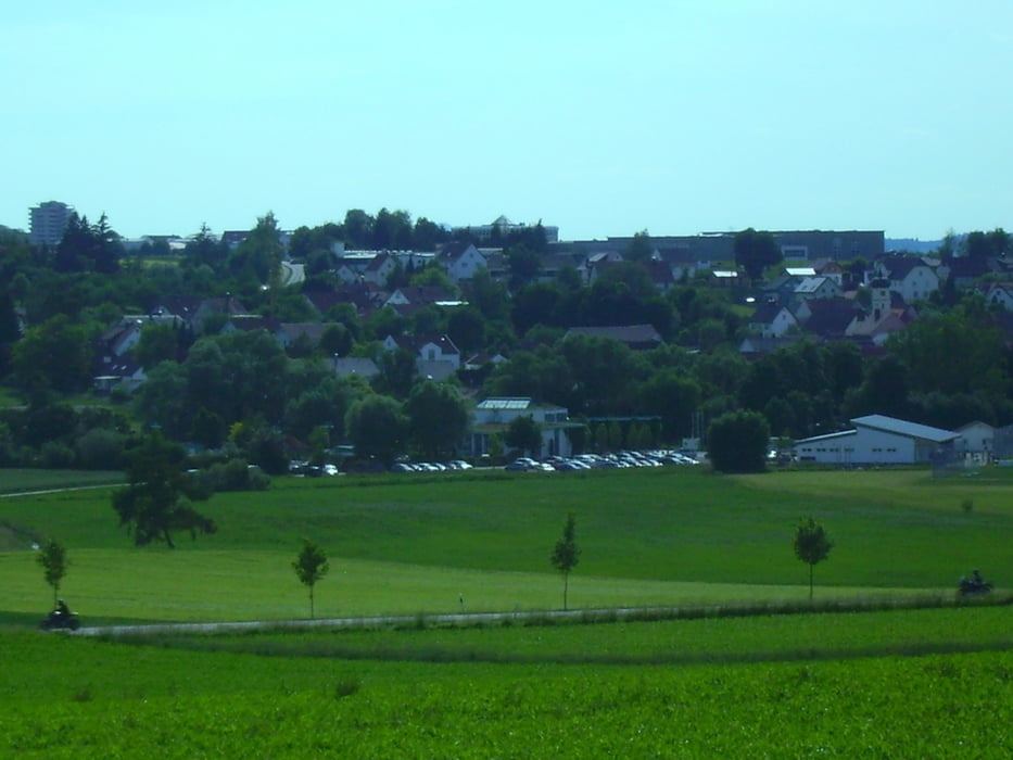
 Von Steinberg an der Weihung entlang nach Schnürpflingen. Dann Am Sportplatz von Schnürpflingen vorbei zum Wanderweg mit dem blauen Balken bis nach Burgrieden. Ein kurzes Stück entlang der L259 und dann über Oberholzheim und Bilahfingen zurück nach Steinberg.

Netter Ausritt am Sonntag Nachmittag.


Tour gallery

Tour map and elevation profile

  • Open Street Map
  • Google
Minimum height 392 m Maximum height 541 m Detailed view

More about the tour author

painfully58
Member since 2008

Send private message

Comments

GPS tracks

Trackpoints
  • GPX / Garmin Map Source (gpx) download
  • TCX / Garmin Training Center® (tcx) download
  • CRS / Garmin Training Center® (crs) download
  • Google Earth (kml) download
  • G7ToWin (g7t) download
  • TTQV (trk) download
  • Overlay (ovl) download
  • Fugawi (txt) download
  • Kompass (DAV) Track (tk) download
  • Track data sheet (pdf) download
  • Original file of the author (gpx) download

More about the tour author

painfully58
Member since 2008

Send private message
Share track
Add to my favorites
Remove from my favorites
Edit tags
My score
Rate
Track: Burgrieden III mit Harry
Type: Mountain bike
Distance: 26,8 km
Evaluated on:
Duration:
Day(s)
Hour(s)
Minute(s)
Score: Landscape Fun factor Fitness Technique